Latitude: 50.7954 / 50°47'43"N
Longitude: -0.6692 / 0°40'9"W
OS Eastings: 493885
OS Northings: 100383
OS Grid: SU938003
Mapcode National: GBR FJT.5LX
Mapcode Global: FRA 96HZ.M48
Plus Code: 9C2XQ8WJ+58
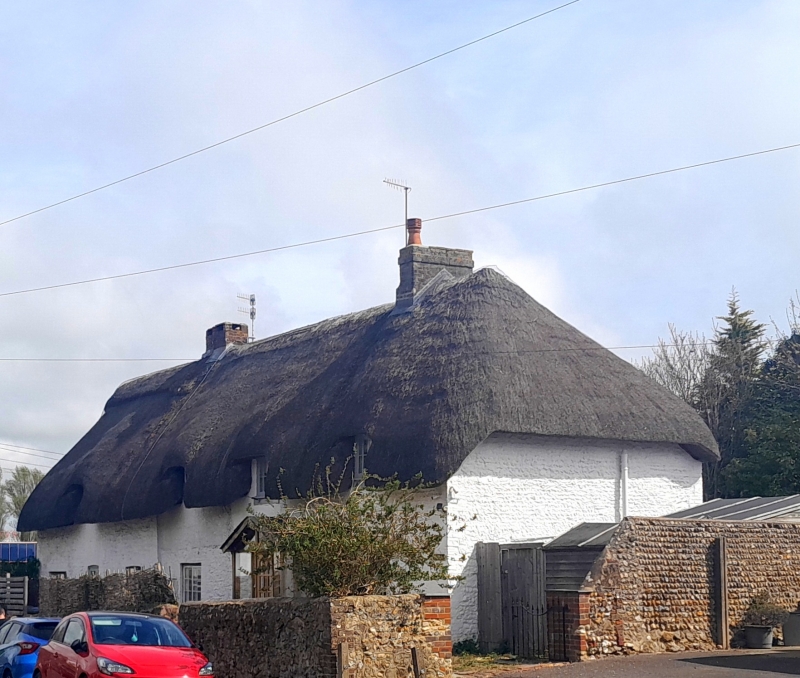
Entry Name: Wall Along Road to West of Nos 1 and 2 (The Farm)
Listing Date: 7 November 1975
Grade: II
Source: Historic England
Source ID: 1353821
English Heritage Legacy ID: 297612
ID on this website: 101353821
Location: South Bersted, Arun, West Sussex, PO22
County: West Sussex
District: Arun
Civil Parish: Bognor Regis
Built-Up Area: Bognor Regis
Traditional County: Sussex
Lieutenancy Area (Ceremonial County): West Sussex
Church of England Parish: South Bersted St Mary Magdalene
Church of England Diocese: Chichester
Tagged with: Wall
SHRIPNEY ROAD 1. 5401 (East Side) SOUTH BERSTED Wall along road to west of lies 1 & 2 (The Farm) SU 9300 9/116A II 2. Flint wall of perhaps the same period as the house.
Listing NGR: SU9388500383
External links are from the relevant listing authority and, where applicable, Wikidata. Wikidata IDs may be related buildings as well as this specific building. If you want to add or update a link, you will need to do so by editing the Wikidata entry.


Other nearby listed buildings