Latitude: 50.9563 / 50°57'22"N
Longitude: -0.5121 / 0°30'43"W
OS Eastings: 504599
OS Northings: 118481
OS Grid: TQ045184
Mapcode National: GBR GJ7.WX6
Mapcode Global: FRA 96TL.2BN
Plus Code: 9C2XXF4Q+G5
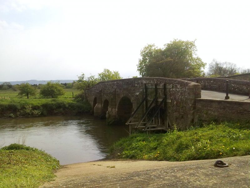
Entry Name: Pulborough Bridge
Listing Date: 15 March 1955
Grade: II
Source: Historic England
Source ID: 1353973
English Heritage Legacy ID: 298375
ID on this website: 101353973
Location: Pulborough, Horsham, West Sussex, RH20
County: West Sussex
District: Horsham
Civil Parish: Pulborough
Built-Up Area: West Chiltington Common
Traditional County: Sussex
Lieutenancy Area (Ceremonial County): West Sussex
Church of England Parish: Hardham St Botolph
Church of England Diocese: Chichester
COLDWALTHAM ROMAN ROAD 1. 5404 Pulborough Bridge (Formerly listed under the Civil Parish of Pulborough) TQ 0418 17/686 15.3.55
II
2. Built in 1787 but in the medieval tradition, the southernmost arch added in 1834. Ashlar. Four round-headed arches with blunt cutwaters between them that are carried up above the water level to form buttresses. Parapet with rounded coping.
Listing NGR: TQ0459918481


Other nearby listed buildings