Latitude: 54.9767 / 54°58'36"N
Longitude: -1.7642 / 1°45'51"W
OS Eastings: 415189
OS Northings: 564702
OS Grid: NZ151647
Mapcode National: GBR JB3W.VS
Mapcode Global: WHC3N.W52M
Plus Code: 9C6WX6GP+M8
Entry Name: Village Cross
Listing Date: 18 November 1985
Grade: II
Source: Historic England
Source ID: 1355115
English Heritage Legacy ID: 303861
ID on this website: 101355115
Location: Village Green, Ryton, Gateshead, Tyne and Wear, NE40
County: Gateshead
Electoral Ward/Division: Ryton, Crookhill and Stella
Parish: Non Civil Parish
Built-Up Area: Ryton
Traditional County: Durham
Lieutenancy Area (Ceremonial County): Tyne and Wear
Church of England Parish: Ryton
Church of England Diocese: Durham
NZ 1564 NW RYTON THE GREEN
15/96 Village Cross
G.V. II
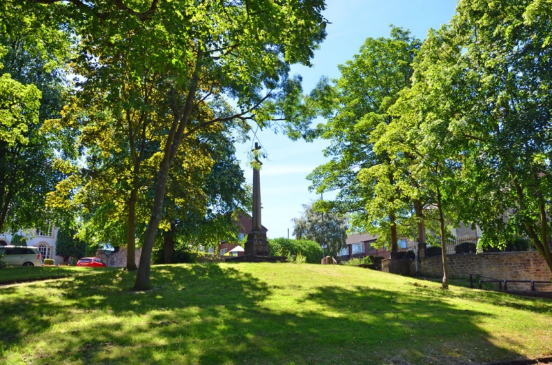
Village cross. Sandstone and sandstone ashlar. Dated 1795 on plinth and 1951 on base of shaft. 3 square steps to chamfered plinth supporting ashlar clustered shaft and broad-based octagonal-section cross finial.
Listing NGR: NZ1518964701


Other nearby listed buildings