Latitude: 51.4998 / 51°29'59"N
Longitude: -0.17 / 0°10'11"W
OS Eastings: 527121
OS Northings: 179465
OS Grid: TQ271794
Mapcode National: GBR 6J.0J
Mapcode Global: VHGQZ.0KHL
Plus Code: 9C3XFRXJ+W2
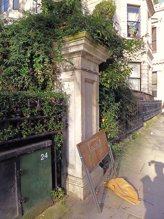
Entry Name: Corner Pier in North East Corner of Central Garden
Listing Date: 1 December 1987
Grade: II
Source: Historic England
Source ID: 1357024
English Heritage Legacy ID: 209689
ID on this website: 101357024
Location: Knightsbridge, Westminster, London, SW7
County: London
District: City of Westminster
Electoral Ward/Division: Knightsbridge and Belgravia
Parish: Non Civil Parish
Built-Up Area: City of Westminster
Traditional County: Middlesex
Lieutenancy Area (Ceremonial County): Greater London
Church of England Parish: Holy Trinity South Kensington
Church of England Diocese: London
Tagged with: Architectural structure
TQ 2779 SW CITY OF WESTMINSTER ENNISMORE GARDENS, SW7
95/14 (north side)
Corner Pier in
north-east corner of
central garden
GV II
Pier. Mid C19. Portland stone. Panelled with cornice. Part of coherent
development with houses on all sides of garden.
Listing NGR: TQ2712179465
External links are from the relevant listing authority and, where applicable, Wikidata. Wikidata IDs may be related buildings as well as this specific building. If you want to add or update a link, you will need to do so by editing the Wikidata entry.


Other nearby listed buildings