Latitude: 51.496 / 51°29'45"N
Longitude: -0.1343 / 0°8'3"W
OS Eastings: 529611
OS Northings: 179104
OS Grid: TQ296791
Mapcode National: GBR GK.0W
Mapcode Global: VHGQZ.MNCH
Plus Code: 9C3XFVW8+C7
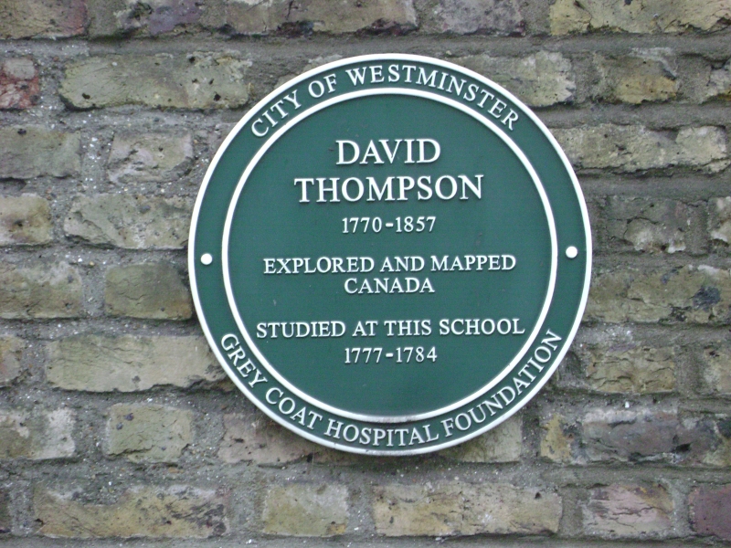
Entry Name: Greycoat Hospital (School)
Listing Date: 14 January 1970
Grade: II
Source: Historic England
Source ID: 1357057
English Heritage Legacy ID: 209945
ID on this website: 101357057
Location: Victoria, Westminster, London, SW1P
County: London
District: City of Westminster
Electoral Ward/Division: St James's
Parish: Non Civil Parish
Built-Up Area: City of Westminster
Traditional County: Middlesex
Lieutenancy Area (Ceremonial County): Greater London
Church of England Parish: St Stephen Rochester Row
Church of England Diocese: London
Tagged with: Secondary school Academy school Girls' school
TQ 2979 SE CITY OF WESTMINSTER GREYCOAT PLACE, SWI 100/23 Greycoat Hospital 14.1.70 (school) - II School. Founded as charitable boarding school 1698. Centre block of 1701, restored and extended with wings by Laurence King after war damage. Brown brick with stuccoed centrepiece, slate roof. 3 storeys and dormers. 5 windows wide original block with advanced and pedimented stucco centrepiece, set back between post war wings. Doric columned and pedimented entrance with triglyph entablature. Above are 2 niches containing painted wooden figures of Charity Children, probably early C.18, flanking arms of Queen Anne executed in Coade stone. Flush framed glazing bar sashes under flat gauged red brick arches with keystones. Brick plat band to 1st floor; moulded cornice and parapet; steep stucco pediment over centrepiece. The wings with flush framed sashes have been rebuilt in matching style.
Listing NGR: TQ2961179104
External links are from the relevant listing authority and, where applicable, Wikidata. Wikidata IDs may be related buildings as well as this specific building. If you want to add or update a link, you will need to do so by editing the Wikidata entry.


Other nearby listed buildings