Latitude: 51.5101 / 51°30'36"N
Longitude: -0.0658 / 0°3'57"W
OS Eastings: 534320
OS Northings: 180791
OS Grid: TQ343807
Mapcode National: GBR YD.BV
Mapcode Global: VHGR0.T91Q
Plus Code: 9C3XGW6M+2M
Entry Name: St Paul's Church of England Primary School
Listing Date: 27 September 1973
Grade: II
Source: Historic England
Source ID: 1357506
English Heritage Legacy ID: 206336
ID on this website: 101357506
Location: Wapping, Tower Hamlets, London, E1
County: London
District: Tower Hamlets
Electoral Ward/Division: Whitechapel
Parish: Non Civil Parish
Built-Up Area: Tower Hamlets
Traditional County: Middlesex
Lieutenancy Area (Ceremonial County): Greater London
Church of England Parish: St George-in-the-East
Church of England Diocese: London
Tagged with: School building
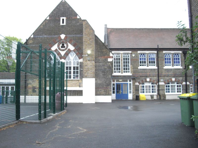
1. WELLCLOSE SQUARE E1 4431 (Central Area) St Paul s Church of England Primary School TQ 3480 22/800 II GV 2. 1869. Brown brick with white stone dressings. Red arid black brick window dressings. Tiled roof. Gothic style. Western facade has 4 gables, outer 2 above staff houses. Central clock tower with spire above entrance which has 6 cloister arches, centre 2 with stone string course gabled above, and with trefoil finials and tablets marking "Boys" and "Girls" entrances. 2 storeys, 4 windows, Gothic glazing bars and stone tracery.
The listed buildings and the road surface of Wellclose Square form a group with Wilton's Music Hall, Grace's Alley.
Listing NGR: TQ3432080791
External links are from the relevant listing authority and, where applicable, Wikidata. Wikidata IDs may be related buildings as well as this specific building. If you want to add or update a link, you will need to do so by editing the Wikidata entry.


Other nearby listed buildings