Latitude: 51.5102 / 51°30'36"N
Longitude: -0.078 / 0°4'40"W
OS Eastings: 533474
OS Northings: 180779
OS Grid: TQ334807
Mapcode National: GBR VD.MT
Mapcode Global: VHGR0.L9MM
Plus Code: 9C3XGW6C+3Q
Entry Name: Port of London Authority Building (That Part Within London Borough of Tower Hamlets)
Listing Date: 3 March 1972
Grade: II*
Source: Historic England
Source ID: 1357519
English Heritage Legacy ID: 206298
ID on this website: 101357519
Location: City of London, London, EC3N
County: London
District: City and County of the City of London
Electoral Ward/Division: Tower
Built-Up Area: City of London
Traditional County: Middlesex
Lieutenancy Area (Ceremonial County): City of London
Church of England Parish: All Hallows-by-the-Tower
Church of England Diocese: London
TRINITY SQUARE EC3
1.
4431
(North West Side)
Port of London Authority
Building
(That part within London
Borough of Tower Hamlets)
TQ 3380 21/725 3.3.72
II*
2.
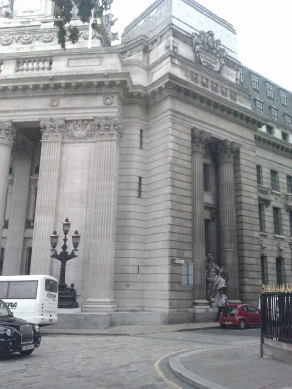
1912 to 1922 by Sir Edwin Cooper. Building in City of London list (qv). Corner
of facade and one massive cast iron lamp pillar with 3 lamps over boundary and
in Tower Hamlets.
Listing NGR: TQ3348980784
This text is from the original listing, and may not necessarily reflect the current setting of the building.


Other nearby listed buildings