Latitude: 52.7175 / 52°43'3"N
Longitude: -0.1356 / 0°8'7"W
OS Eastings: 526033
OS Northings: 314947
OS Grid: TF260149
Mapcode National: GBR HY3.NJN
Mapcode Global: WHHMT.WYMK
Plus Code: 9C4XPV97+2Q
Entry Name: St Guthlacs Cross
Listing Date: 1 January 1961
Grade: II
Source: Historic England
Source ID: 1359254
English Heritage Legacy ID: 197969
ID on this website: 101359254
Location: South Holland, Lincolnshire, PE12
County: Lincolnshire
District: South Holland
Civil Parish: Crowland
Traditional County: Lincolnshire
Lieutenancy Area (Ceremonial County): Lincolnshire
Church of England Parish: Crowland St Mary and St Bartholomew and St Guthlac
Church of England Diocese: Lincoln
CROWLAND BROTHERSHOME BAR TF 21 SE (south west side)
12/6 St. Guthlac's Cross 1961 II
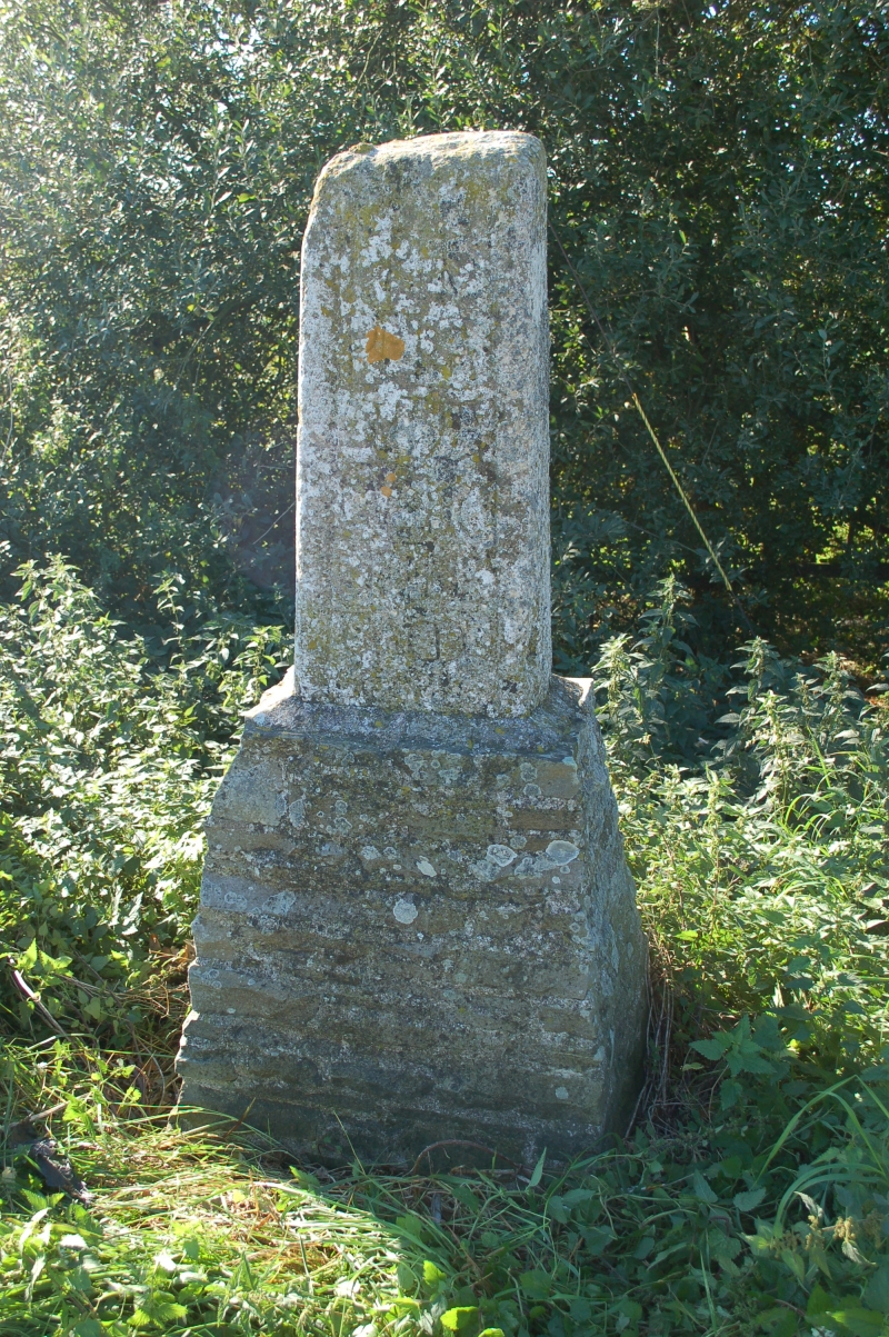
Boundary cross. c.1200. Limestone ashlar. Tapering rectangular shaft, approximately 1 meter high, with slender roll moulded sides with small spur to left, and framing inscription: 'Hanc Petra Guthlac...' the rest being somewhat obscure, but which has been translated as 'This stone, I say, is Guthlac's utmost bound'. Cross marks the boundary of land formerly owned by Crowland Abbey. Formerly considered to be early C10. Scheduled as Ancient Monument, No. 8.
Listing NGR: TF2603314947