Latitude: 51.4186 / 51°25'6"N
Longitude: -2.2493 / 2°14'57"W
OS Eastings: 382763
OS Northings: 168873
OS Grid: ST827688
Mapcode National: GBR 1RD.VJR
Mapcode Global: VH96G.YLSV
Plus Code: 9C3VCQ92+C7
Entry Name: Railway Bridge
Listing Date: 24 July 1985
Grade: II
Source: Historic England
Source ID: 1363624
English Heritage Legacy ID: 317040
ID on this website: 101363624
Location: Box, Wiltshire, SN13
County: Wiltshire
Civil Parish: Box
Built-Up Area: Box
Traditional County: Wiltshire
Lieutenancy Area (Ceremonial County): Wiltshire
Church of England Parish: Box
Church of England Diocese: Bristol
Tagged with: Road bridge
ST 8268 BOX LONDON ROAD
3/176 Railway Bridge
II
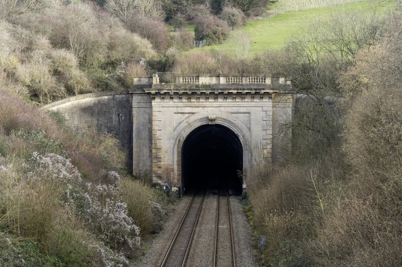
Road bridge over railway, c1840 by I. K. Brunel for Great Western Railway. Three-arched ashlar bridge with skew elliptical arches, taller in centre, unmoulded with plain frieze and moulded cornice under ashlar parapet with ridged capping. Battered splayed abutments each side and plain end piers. Main arch pierced with lateral arch each side.
Listing NGR: ST8276368873
External links are from the relevant listing authority and, where applicable, Wikidata. Wikidata IDs may be related buildings as well as this specific building. If you want to add or update a link, you will need to do so by editing the Wikidata entry.


Other nearby listed buildings