Latitude: 52.1742 / 52°10'27"N
Longitude: -1.4905 / 1°29'25"W
OS Eastings: 434940
OS Northings: 253004
OS Grid: SP349530
Mapcode National: GBR 6PY.N0F
Mapcode Global: VHBY4.3MX3
Plus Code: 9C4W5GF5+MR
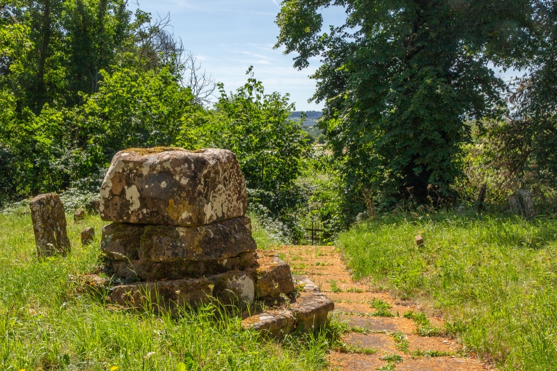
Entry Name: Churchyard Cross Base Approximately 10 Metres South of South Door of Church of All Saints
Listing Date: 20 May 1987
Grade: II
Source: Historic England
Source ID: 1364744
English Heritage Legacy ID: 307032
ID on this website: 101364744
Location: All Saints Church, Chadshunt, Stratford-on-Avon, Warwickshire, CV35
County: Warwickshire
District: Stratford-on-Avon
Civil Parish: Chadshunt
Traditional County: Warwickshire
Lieutenancy Area (Ceremonial County): Warwickshire
Church of England Parish: Gaydon with Chadshunt
Church of England Diocese: Coventry
CHADSHUNT KINETON ROAD SP35SW (West side) 7/36 Churchyard cross base approx. lOm. S of S door of Church of All Saints
GV II
Churchyard cross base. Medieval. Ironstone ashlar. Octagonal base and 2 steps, cut back to square socket stone.
Listing NGR: SP3494053004


Other nearby listed buildings