Latitude: 52.3209 / 52°19'15"N
Longitude: -1.7027 / 1°42'9"W
OS Eastings: 420361
OS Northings: 269236
OS Grid: SP203692
Mapcode National: GBR 4K8.GBB
Mapcode Global: VHBX7.FXQQ
Plus Code: 9C4W87CW+8W
Entry Name: Gatepier Approximately 1 Metre North of Rowington Hall
Listing Date: 16 February 1990
Grade: II
Source: Historic England
Source ID: 1365009
English Heritage Legacy ID: 308370
ID on this website: 101365009
Location: Rowington, Warwick, Warwickshire, CV35
County: Warwickshire
District: Warwick
Civil Parish: Rowington
Traditional County: Warwickshire
Lieutenancy Area (Ceremonial County): Warwickshire
Church of England Parish: Rowington St Laurence
Church of England Diocese: Coventry
Tagged with: Gatepost
ROWINGTON OLD WARWICK ROAD
SP26NW (West side)
4/106 Gatepier approx. 1m N of
Rowington Hall
6V II
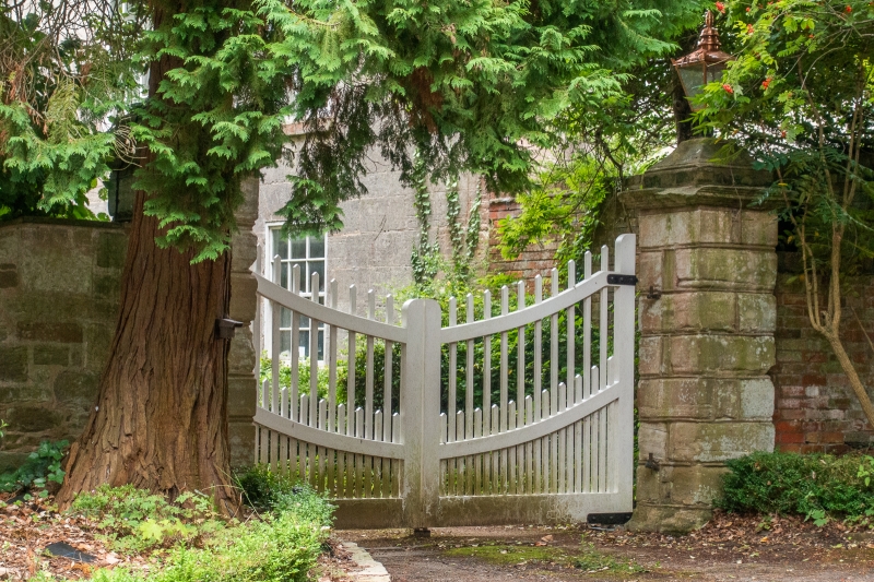
Gatepier. C18. Rusticated stone pier with cornice and lantern to top. One of a
pair flanking main approach to Rowington Hall.
[ 107]
Listing NGR: SP2036169236
External links are from the relevant listing authority and, where applicable, Wikidata. Wikidata IDs may be related buildings as well as this specific building. If you want to add or update a link, you will need to do so by editing the Wikidata entry.


Other nearby listed buildings