Latitude: 55.1051 / 55°6'18"N
Longitude: -1.6471 / 1°38'49"W
OS Eastings: 422616
OS Northings: 579025
OS Grid: NZ226790
Mapcode National: GBR J9YD.6R
Mapcode Global: WHC2Y.NYW6
Plus Code: 9C7W4943+35
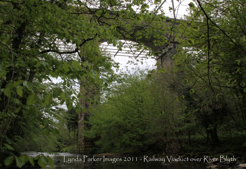
Entry Name: Railway Viaduct over the River Blyth
Listing Date: 7 April 1988
Grade: II
Source: Historic England
Source ID: 1365310
English Heritage Legacy ID: 409858
ID on this website: 101365310
Location: Northumberland, NE61
County: Northumberland
Civil Parish: Stannington
Traditional County: Northumberland
Lieutenancy Area (Ceremonial County): Northumberland
Church of England Parish: Stannington St Mary the Virgin
Church of England Diocese: Newcastle
Tagged with: Architectural structure Railway viaduct
PLESSEY WOODS NZ 27 NW Blyth Valley 3/120 Railway viaduct over the River Blyth II Railway viaduct on east coast main line; second half of C19. Rock-faced stone with rock-faced-and-margined voussoirs and ashlar dressings. 5 Segmental arches on moulded imposts; 3 river piers have rounded cutwaters. Moulded cornice broken forward above paired end pilasters; no parapet.
Partly in Stannington Parish (Castle Morpeth D.).
Listing NGR: NZ2261679025
External links are from the relevant listing authority and, where applicable, Wikidata. Wikidata IDs may be related buildings as well as this specific building. If you want to add or update a link, you will need to do so by editing the Wikidata entry.


Other nearby listed buildings