Approximate Location Map
Large Map »
Latitude: 51.2309 / 51°13'51"N
Longitude: 1.1337 / 1°8'1"E
OS Eastings: 618875
OS Northings: 152638
OS Grid: TR188526
Mapcode National: GBR TYQ.RG5
Mapcode Global: VHLGV.LBP6
Plus Code: 9F3364JM+9F
Entry Name: Wall to Oswalds
Listing Date: 14 March 1980
Grade: II
Source: Historic England
Source ID: 1366267
English Heritage Legacy ID: 171005
ID on this website: 101366267
Location: Bishopsbourne, Canterbury, Kent, CT4
County: Kent
District: Canterbury
Civil Parish: Bishopsbourne
Traditional County: Kent
Lieutenancy Area (Ceremonial County): Kent
Tagged with: Wall
1.
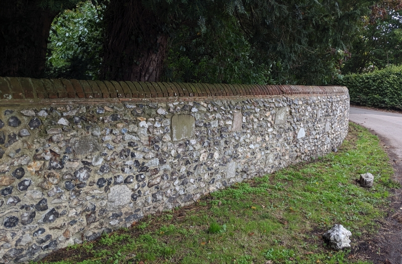
5273 BISHOPSBOURNE THE STREET
(west side)
Wall to Oswalds
TR 1852 21/150A
II GV
2.
C18 to C19. Knapped flint garden wall with brick coping and variable height.
Listing NGR: TR1887252629
External links are from the relevant listing authority and, where applicable, Wikidata. Wikidata IDs may be related buildings as well as this specific building. If you want to add or update a link, you will need to do so by editing the Wikidata entry.


Other nearby listed buildings
