Latitude: 52.9565 / 52°57'23"N
Longitude: -2.9942 / 2°59'39"W
OS Eastings: 333309
OS Northings: 340360
OS Grid: SJ333403
Mapcode National: GBR 75.KZ1B
Mapcode Global: WH89B.ZYCD
Plus Code: 9C4VX244+H8
Entry Name: Barn Approximately 15 Metres South East of Plas-Yn-Y-Coed
Listing Date: 25 April 1988
Grade: II
Source: Historic England
Source ID: 1366542
English Heritage Legacy ID: 260775
ID on this website: 101366542
Location: Shropshire, SY11
County: Shropshire
Civil Parish: Ellesmere Rural
Traditional County: Shropshire
Lieutenancy Area (Ceremonial County): Shropshire
Church of England Parish: Dudleston St Mary
Church of England Diocese: Lichfield
Tagged with: Barn
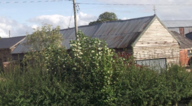
ELLESMERE RURAL C.P. - SJ 34 SW 1/75 Barn approx. 15m south- - east of Plas-yn-y-coed GV II Barn. Late C17 with later additions and alterations. Weatherboarded timber frame; corrugated iron roof. Doorways to left, right and left of centre with opening above plinth between 2 left doorways. 4 eaves hatches. Interior. Framing visible: square and rectangular panels and vertical posts. Single through-purlin roof in 7 bays with mixture of queen-strut trusses and raking struts from tie beams to principal rafters. Short straight windbraces and braces from wall posts to slightly cambered tie beams. Slate floor in fourth bay from right (former threshing bay).
Listing NGR: SJ3330940360
External links are from the relevant listing authority and, where applicable, Wikidata. Wikidata IDs may be related buildings as well as this specific building. If you want to add or update a link, you will need to do so by editing the Wikidata entry.


Other nearby listed buildings