Latitude: 52.0383 / 52°2'17"N
Longitude: -1.4902 / 1°29'24"W
OS Eastings: 435063
OS Northings: 237891
OS Grid: SP350378
Mapcode National: GBR 6RP.222
Mapcode Global: VHBYX.4117
Plus Code: 9C4W2GQ5+8W
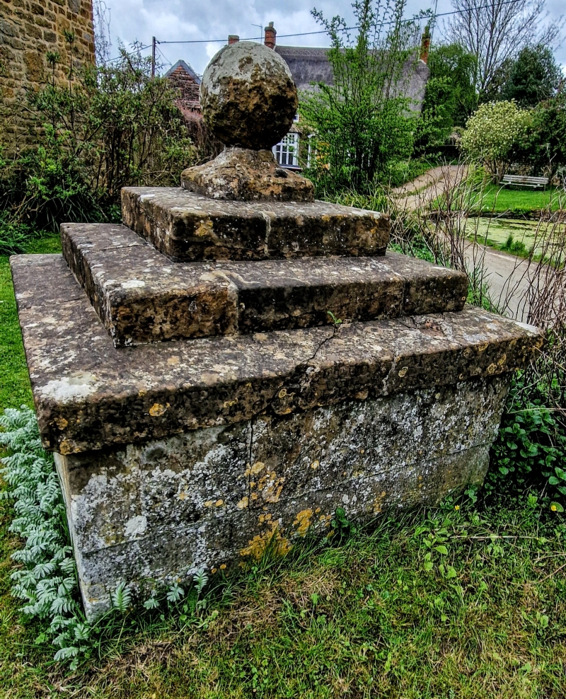
Entry Name: Well Housing Opposite Village Pond
Listing Date: 20 September 1988
Grade: II
Source: Historic England
Source ID: 1369598
English Heritage Legacy ID: 244712
ID on this website: 101369598
Location: Sibford Gower, Cherwell, Oxfordshire, OX15
County: Oxfordshire
District: Cherwell
Civil Parish: Sibford Gower
Built-Up Area: Sibford Gower
Traditional County: Oxfordshire
Lieutenancy Area (Ceremonial County): Oxfordshire
Church of England Parish: Sibford
Church of England Diocese: Oxford
Tagged with: Architectural structure
SIBFORD GOWER SP3436-3536 16/156 Well housing opposite village pond GV II Well, C18/C19, Ironstone ashlar. Square plan. Approximately 1 metre high, small hinged plank door. Stepped cornice with ball finial.
Listing NGR: SP3506337891
External links are from the relevant listing authority and, where applicable, Wikidata. Wikidata IDs may be related buildings as well as this specific building. If you want to add or update a link, you will need to do so by editing the Wikidata entry.


Other nearby listed buildings