Latitude: 51.2928 / 51°17'34"N
Longitude: 1.1586 / 1°9'31"E
OS Eastings: 620319
OS Northings: 159591
OS Grid: TR203595
Mapcode National: GBR TXZ.ZP8
Mapcode Global: VHLGH.1RCT
Plus Code: 9F3375V5+4C
Entry Name: Elbridge Farmhouse
Listing Date: 29 September 1952
Grade: II*
Source: Historic England
Source ID: 1372874
English Heritage Legacy ID: 171272
ID on this website: 101372874
Location: Canterbury, Kent, CT3
County: Kent
District: Canterbury
Civil Parish: Littlebourne
Traditional County: Kent
Lieutenancy Area (Ceremonial County): Kent
Tagged with: Farmhouse
1. 5273 LITTLEBOURNE
Elbridge Farmhouse TR 25 NW 10/495 29.9.52
II* GV
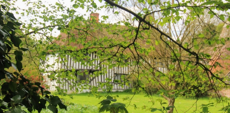
2. C15 timber-framed and close-studded hall-house of Wealden plan with plaster infilling. Two storeys. The first floor of the end window bays oversails on the protruding ends of the floor joists. The centre portion has projecting coved eaves supported on curved braces. Steeply pitched hipped tiled roof. Three casement windows. Later tiled gabled porch to right end bay. A good example of a Wealden Hall-House.
Listing NGR: TR2031159594
External links are from the relevant listing authority and, where applicable, Wikidata. Wikidata IDs may be related buildings as well as this specific building. If you want to add or update a link, you will need to do so by editing the Wikidata entry.


Other nearby listed buildings