Latitude: 52.8482 / 52°50'53"N
Longitude: 1.1651 / 1°9'54"E
OS Eastings: 613226
OS Northings: 332550
OS Grid: TG132325
Mapcode National: GBR VCK.FC6
Mapcode Global: WHLR8.VNZV
Plus Code: 9F43R5X8+72
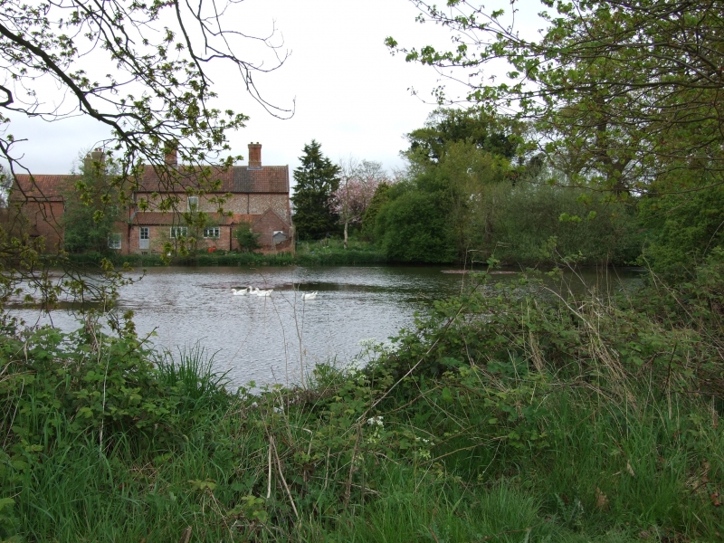
Entry Name: Mere Farm House
Listing Date: 20 February 1987
Grade: II
Source: Historic England
Source ID: 1373830
English Heritage Legacy ID: 224074
ID on this website: 101373830
Location: North Norfolk, NR11
County: Norfolk
District: North Norfolk
Civil Parish: Itteringham
Traditional County: Norfolk
Lieutenancy Area (Ceremonial County): Norfolk
Church of England Parish: Itteringham with Mannington
Church of England Diocese: Norwich
Tagged with: Farmhouse
ITTERINGHAM MANNINGTON TG 13 SW 7/53 Mere Farm House II
House C17, altered and enlarged mid C19. Coursed flint and brick mosaic with with brick dressings. Pantile roof. Single range of 4 bays. 2 storeys and attic. Flint plinth with brick cap. Main facade has 2-storeyed projecting gabled porch to second bay; flint and brick with brick dressings under pantiles. Brick doorway altered mid C19 above imposts; 4-centred brick arch with fanlight having 2 vertical glazing bars; ledged and battened door. Walls incorporate some brick pattern work of hearts; upper part of walls in different flint/brick coursed mosaic. All windows of Cl9: tripartite sashes to bays 1 and 3 of ground floor, sashes to 4th bay and first floor. Two axial chimney stacks renewed, each of two shafts set diagonally having oversailing caps. Left hand gable raised; projecting parapet; decorative brickwork of hearts; tripartite sash to ground floor, sashes to first and attic floor. Rear: Semi-circular headed sash with glazing bars to centre, single storey passage addition. Interior: Staircase with square balusters and wreathed handrail supported by decorative cast iron newel surrounded by four balusters. Lower 3 bay C19 2 storey extension to right, and wing to rear of no special interest.
Listing NGR: TG1322632550
External links are from the relevant listing authority and, where applicable, Wikidata. Wikidata IDs may be related buildings as well as this specific building. If you want to add or update a link, you will need to do so by editing the Wikidata entry.


Other nearby listed buildings