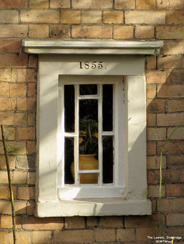
Latitude: 52.6288 / 52°37'43"N
Longitude: -2.4803 / 2°28'48"W
OS Eastings: 367588
OS Northings: 303558
OS Grid: SJ675035
Mapcode National: GBR BW.7J2M
Mapcode Global: WH9DG.W630
Plus Code: 9C4VJGH9+GV
Entry Name: The Laurels
Listing Date: 9 August 1974
Grade: II
Source: Historic England
Source ID: 1374900
English Heritage Legacy ID: 362136
ID on this website: 101374900
Location: Ironbridge, Telford and Wrekin, Shropshire, TF8
County: Telford and Wrekin
Civil Parish: The Gorge
Built-Up Area: Telford
Traditional County: Shropshire
Lieutenancy Area (Ceremonial County): Shropshire
Church of England Parish: Ironbridge
Church of England Diocese: Hereford
Tagged with: Architectural structure
IRONBRIDGE BELMONT ROAD 1. 5562 (south side) No 57 (The Laurels) SJ 6703 14/271 9.8.74
II GV
2. Mid C19. Buff brick; 2 storeys; 2 sash windows in stone surrounds with cornices on consoles; modern rectangular bay on right; doorway on west side having porch with hipped slate roof; brick bracketed eaves; hipped slate roof. Modern additions on north side.
Listing NGR: SJ6758803558
External links are from the relevant listing authority and, where applicable, Wikidata. Wikidata IDs may be related buildings as well as this specific building. If you want to add or update a link, you will need to do so by editing the Wikidata entry.


Other nearby listed buildings