Approximate Location Map
Large Map »
Latitude: 51.2494 / 51°14'57"N
Longitude: -0.1159 / 0°6'57"W
OS Eastings: 531594
OS Northings: 151715
OS Grid: TQ315517
Mapcode National: GBR KK8.MJK
Mapcode Global: VHGS4.YV3K
Plus Code: 9C3X6VXM+QM
Entry Name: Walls to the Manor House
Listing Date: 25 April 1984
Grade: II
Source: Historic England
Source ID: 1377536
English Heritage Legacy ID: 287293
ID on this website: 101377536
Location: Brewer Street, Tandridge, Surrey, RH1
County: Surrey
District: Tandridge
Civil Parish: Bletchingley
Traditional County: Surrey
Lieutenancy Area (Ceremonial County): Surrey
Church of England Parish: Bletchingley St Mary
Church of England Diocese: Southwark
Tagged with: Wall
TQ 35 SW
2/56
BLETCHINGLEY C.P.
PENDELL ROAD
Walls to The Manor House
GV
II
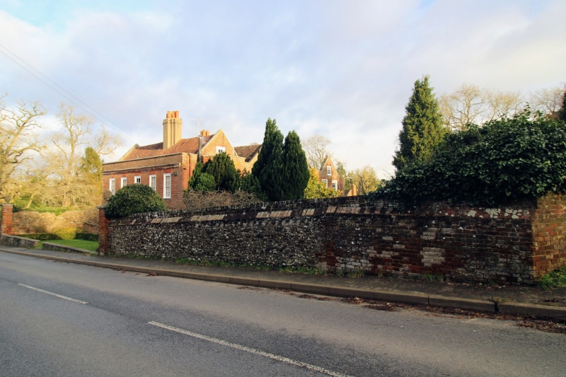
Entrance walls to The Manor House. C18. Red and brown brick with brick on edge
coping c6½ feet high. Two walls, curving forward from end of the house to square
piers. Pier to right 7 foot high, pier to left 9 foot high with stone capital
and pineapple finial. Included for group value with the house.
Listing NGR: TQ3159451715
External links are from the relevant listing authority and, where applicable, Wikidata. Wikidata IDs may be related buildings as well as this specific building. If you want to add or update a link, you will need to do so by editing the Wikidata entry.


Other nearby listed buildings
