Latitude: 51.8829 / 51°52'58"N
Longitude: -2.0535 / 2°3'12"W
OS Eastings: 396413
OS Northings: 220480
OS Grid: SO964204
Mapcode National: GBR 2MC.X8J
Mapcode Global: VHB1Q.CX7Z
Plus Code: 9C3VVWMW+4H
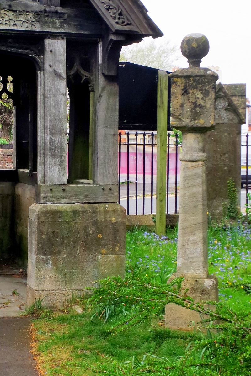
Entry Name: Former Sundial Approximately 45 Metres North West of West Door of Church of St Mary
Listing Date: 14 December 1983
Last Amended: 26 November 1998
Grade: II
Source: Historic England
Source ID: 1386567
English Heritage Legacy ID: 473959
ID on this website: 101386567
Location: St Mary's Church, Charlton Kings, Cheltenham, Gloucestershire, GL53
County: Gloucestershire
District: Cheltenham
Civil Parish: Charlton Kings
Built-Up Area: Cheltenham
Traditional County: Gloucestershire
Lieutenancy Area (Ceremonial County): Gloucestershire
Church of England Parish: Charlton Kings St Mary
Church of England Diocese: Gloucester
Tagged with: Architectural structure
CHARLTON KINGS
SO9620SW CHURCH STREET 630-1/36/36 (South West side) 14/12/83 Former sundial approximately 45m north-west of west door of Church of St Mary (Formerly Listed as: CHURCH STREET Former sundial in churchyard of Church of St Mary)
GV II
Sundial. Probably c1700-35 with later restorations. Limestone ashlar. Square cube with pyramidal and ball capping on cylindrical base, supported by chamfered shaft on plinth. Before 1912 it was placed on top of the churchyard cross (qv).
Listing NGR: SO9641320480
External links are from the relevant listing authority and, where applicable, Wikidata. Wikidata IDs may be related buildings as well as this specific building. If you want to add or update a link, you will need to do so by editing the Wikidata entry.


Other nearby listed buildings