Latitude: 53.3038 / 53°18'13"N
Longitude: -2.3751 / 2°22'30"W
OS Eastings: 375101
OS Northings: 378608
OS Grid: SJ751786
Mapcode National: GBR CZV7.LD
Mapcode Global: WH997.H771
Plus Code: 9C5V8J3F+GX
Entry Name: 12, Princess Street
Listing Date: 18 January 1949
Grade: II
Source: Historic England
Source ID: 1388421
English Heritage Legacy ID: 476432
ID on this website: 101388421
Location: Knutsford, Cheshire East, Cheshire, WA16
County: Cheshire East
Civil Parish: Knutsford
Built-Up Area: Knutsford
Traditional County: Cheshire
Lieutenancy Area (Ceremonial County): Cheshire
Church of England Parish: Knutsford St John the Baptist
Church of England Diocese: Chester
KNUTSFORD
SJ7478 PRINCESS STREET 792-1/3/98 (West side) 18/01/49 No.12
GV II
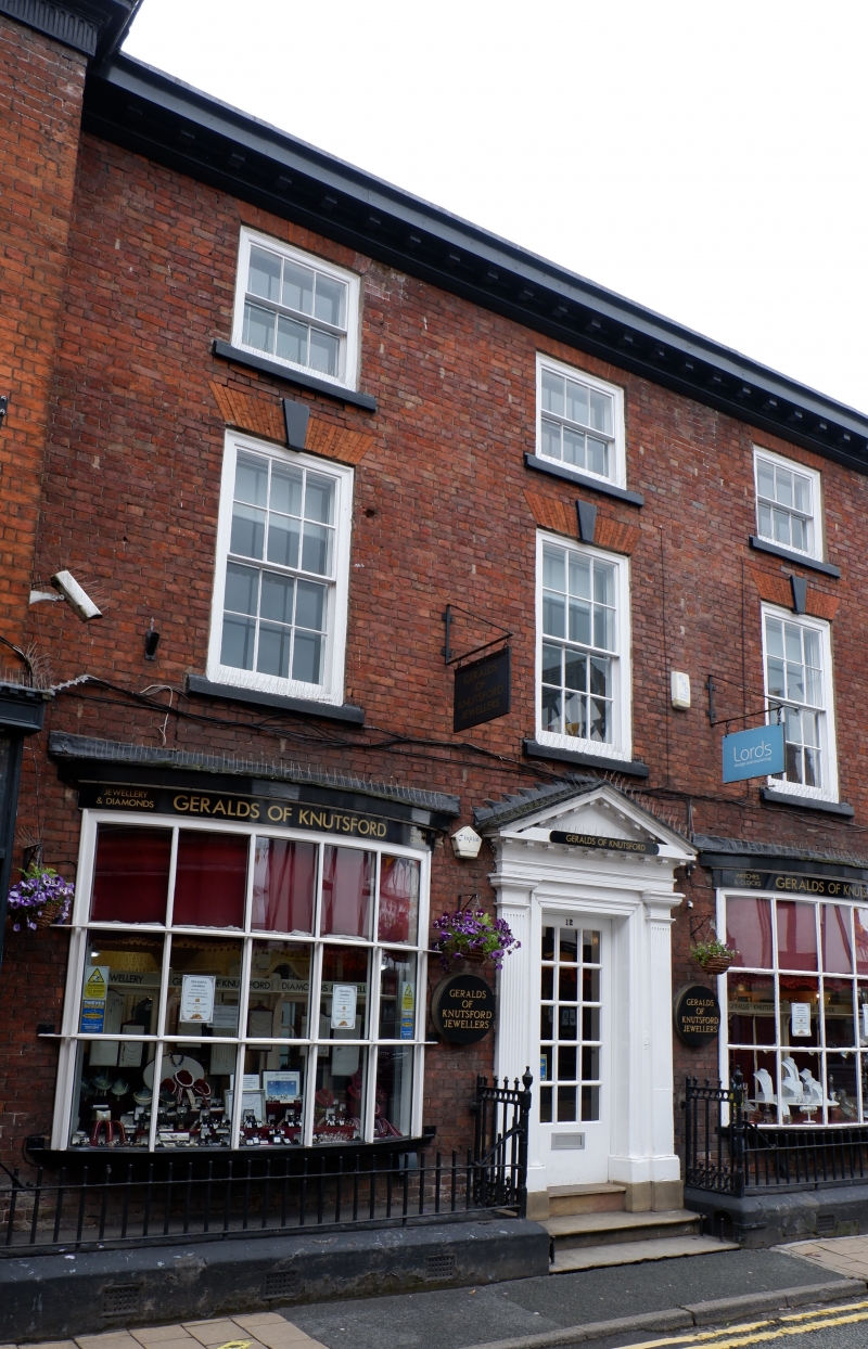
House, now shop. c1800 with C19 alterations. Brick with slate roof. 3-storeyed, 3-window range, with central entrance flanked by inserted shop fronts with bow windows. Pedimented, reeded doorcase. Upper windows are 12-pane sashes with flat-arched gauged brick heads with keystones, and 6-pane sashes to attic storey. Modillion eaves cornice. INTERIOR: the original staircase survives, with turned balusters, and remains of a plaster frieze in a rear room now subdivided.
Listing NGR: SJ7510178608
External links are from the relevant listing authority and, where applicable, Wikidata. Wikidata IDs may be related buildings as well as this specific building. If you want to add or update a link, you will need to do so by editing the Wikidata entry.


Other nearby listed buildings