Approximate Location Map
Large Map »
Latitude: 52.1906 / 52°11'26"N
Longitude: -2.219 / 2°13'8"W
OS Eastings: 385124
OS Northings: 254729
OS Grid: SO851547
Mapcode National: GBR 1G4.PSD
Mapcode Global: VH92T.H68J
Plus Code: 9C4V5QRJ+69
Entry Name: 8, 10 and 12, Friar Street
Listing Date: 8 March 1974
Grade: II
Source: Historic England
Source ID: 1389839
English Heritage Legacy ID: 488790
ID on this website: 101389839
Location: Worcester, Worcestershire, WR1
County: Worcestershire
District: Worcester
Electoral Ward/Division: Cathedral
Parish: Non Civil Parish
Built-Up Area: Worcester
Traditional County: Worcestershire
Lieutenancy Area (Ceremonial County): Worcestershire
Church of England Parish: Worcester St Nicholas and All Saints
Church of England Diocese: Worcester
Tagged with: Building
WORCESTER
SO8554NW FRIAR STREET
620-1/17/282 (West side)
08/3/74 Nos.8, 10 AND 12
GV II
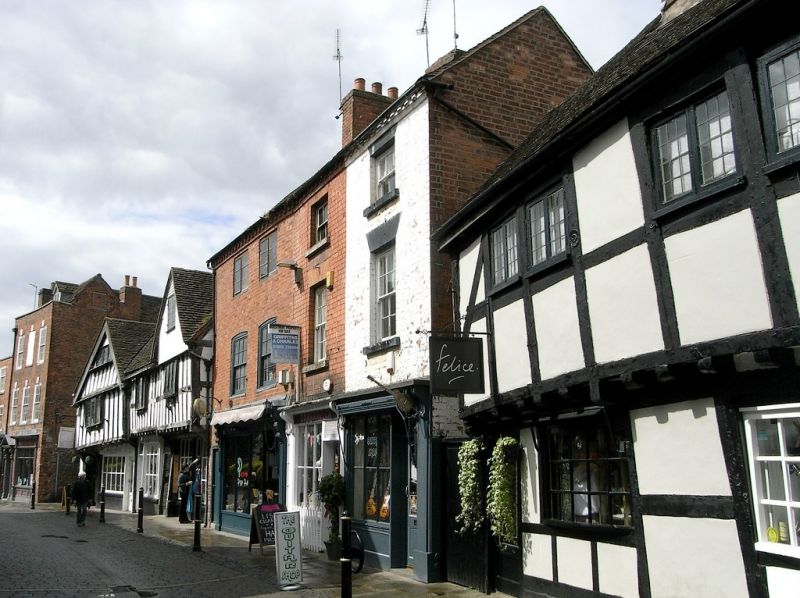
2 houses, now 3 shops. Numbered right to left, described left
to right. No.12 probably c1750-60 with later alterations and
Nos 8 and 10 probably rebuilt c1850. Reddish-brown brick in
Flemish bond, colourwashed at right, with red brick dressings
and plain tile roof; brick party-wall stack with pots and
right ridge stack, with oversailing courses. 3 storeys, 2:1:1
first-floor windows. First floor has 6/6 sashes, 2 at left in
flush frames and under elliptical arches, 2 to right in plain
reveals and with sills and flat arches of gauged brick. Second
floor has 2 flush casements at left and two 3/3 sashes in
plain reveals, with sills and flat arches at right. Continuous
modillion eaves band. Ground floor: from left a plank door,
then shop front has end pilasters with acanthus corbel
brackets, fascia and cornice with end stops; panelled plinth
and tripartite window with chamfered mullions canted in to
entrance, a part-glazed door at right. Otherwise 2 similar
shop fronts, frieze; 6-pane shop windows and entrances at
right, part-glazed doors with 2 lower panels (those at left
are flush, those at right are raised and fielded), frieze,
fluted cornice on paired scroll brackets.
INTERIOR: retains some original features including axial beam
at left.
HISTORICAL NOTE: Nos 8 and 10 were originally one house known
as 'The Big House'. No.8 has been the Collins family grocery
and sweet shop since c1900.
Friar Street originated as a rear access lane for buildings in
High Street until the foundation of the Franciscan Friary in
1235. The first Friary buildings occupied that stretch between
Nos 11-25. The south end of the street was developed first,
with plots dating from the mid C14, plots at the north end
date from the early C15. Many of the existing houses date from
the Reformation, the Friary having been suppressed in 1539 and
its property sold by the Crown to the Corporation of Worcester
which demolished much for building materials. Building
continued from c1540 onwards, modifications were made during
the C17 whilst the C18 saw the replacement of several older
buildings. The street was inhabited mainly by tradesmen:
weavers, clothiers, brewers and innkeepers.
NMR photographs.
(Hughes P and Molyneux N: Friar Street: 1984-: 34).
External links are from the relevant listing authority and, where applicable, Wikidata. Wikidata IDs may be related buildings as well as this specific building. If you want to add or update a link, you will need to do so by editing the Wikidata entry.


Other nearby listed buildings
