Approximate Location Map
Large Map »
Latitude: 56.0617 / 56°3'42"N
Longitude: -3.7681 / 3°46'4"W
OS Eastings: 290007
OS Northings: 686834
OS Grid: NS900868
Mapcode National: GBR 1K.Q5FP
Mapcode Global: WH5QM.2WYX
Plus Code: 9C8R366J+MQ
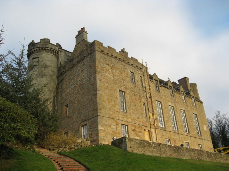
Entry Name: Airth Castle
Listing Name: Airth Castle
Listing Date: 25 October 1972
Category: A
Source: Historic Scotland
Source ID: 332945
Historic Scotland Designation Reference: LB2102
Building Class: Cultural
ID on this website: 200332945
Location: Airth
County: Falkirk
Electoral Ward: Carse, Kinnaird and Tryst
Parish: Airth
Traditional County: Stirlingshire
Tagged with: Castle
C16th-C17th. Early C19th front by David Hamilton.
Empty but no signs of any vandalism. Grounds maintained as if house still inhabitted. Now a Hotel
External links are from the relevant listing authority and, where applicable, Wikidata. Wikidata IDs may be related buildings as well as this specific building. If you want to add or update a link, you will need to do so by editing the Wikidata entry.


Other nearby listed buildings
