Approximate Location Map
Large Map »
Latitude: 56.4121 / 56°24'43"N
Longitude: -3.0428 / 3°2'34"W
OS Eastings: 335752
OS Northings: 724920
OS Grid: NO357249
Mapcode National: GBR VH.XYZK
Mapcode Global: WH7RP.7396
Plus Code: 9C8RCX64+VV
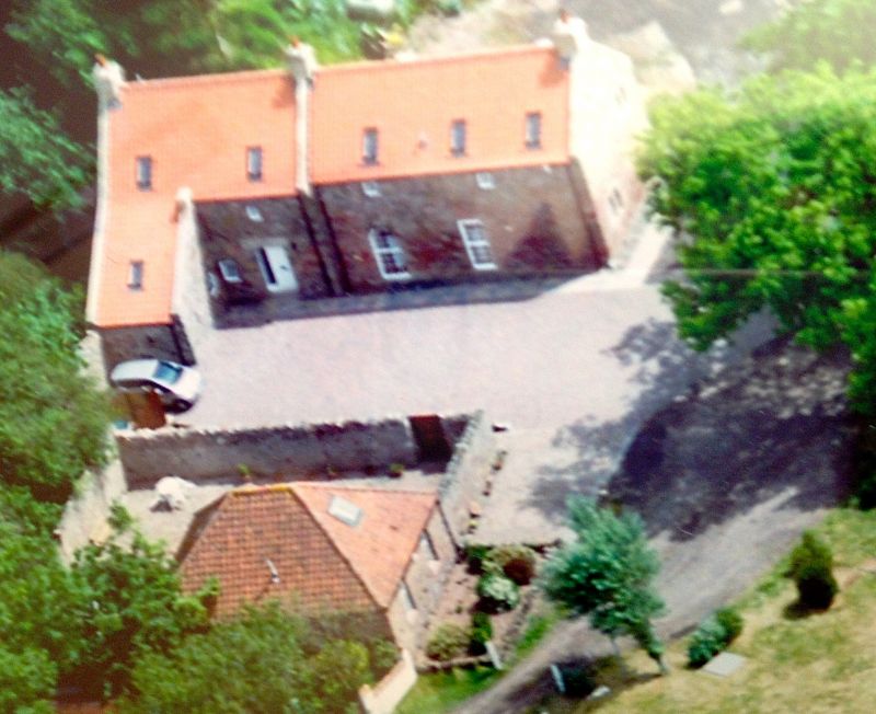
Entry Name: Balmerino Mill
Listing Name: Balmerino Mill
Listing Date: 8 August 1973
Category: B
Source: Historic Scotland
Source ID: 333501
Historic Scotland Designation Reference: LB2556
Building Class: Cultural
ID on this website: 200333501
Location: Balmerino
County: Fife
Electoral Ward: Tay Bridgehead
Parish: Balmerino
Traditional County: Fife
Tagged with: Grain mill
18th century and later, 2 storey rubble and pantile extended
at S. end with piend, kiln vent at roof; outbuildings partly
roofless, piended shed at W. All workings gutted, going to ruin.
External links are from the relevant listing authority and, where applicable, Wikidata. Wikidata IDs may be related buildings as well as this specific building. If you want to add or update a link, you will need to do so by editing the Wikidata entry.


Other nearby listed buildings
