Latitude: 57.0749 / 57°4'29"N
Longitude: -2.3391 / 2°20'20"W
OS Eastings: 379542
OS Northings: 798255
OS Grid: NO795982
Mapcode National: GBR XB.KK26
Mapcode Global: WH8PW.1FFP
Plus Code: 9C9V3MF6+W9
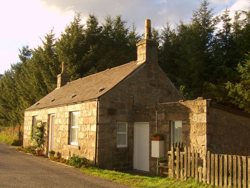
Entry Name: Toll House, Park Bridge
Listing Name: Park Bridge Tollhouse
Listing Date: 25 November 1980
Category: C
Source: Historic Scotland
Source ID: 334094
Historic Scotland Designation Reference: LB3110
Building Class: Cultural
ID on this website: 200334094
Location: Drumoak
County: Aberdeenshire
Electoral Ward: Stonehaven and Lower Deeside
Parish: Drumoak
Traditional County: Aberdeenshire
Tagged with: Tollhouse
1854. Simple single-storey 2-window and centre door coursed rubble.
External links are from the relevant listing authority and, where applicable, Wikidata. Wikidata IDs may be related buildings as well as this specific building. If you want to add or update a link, you will need to do so by editing the Wikidata entry.


Other nearby listed buildings