Latitude: 55.1126 / 55°6'45"N
Longitude: -3.4027 / 3°24'9"W
OS Eastings: 310619
OS Northings: 580703
OS Grid: NY106807
Mapcode National: GBR 49PB.32
Mapcode Global: WH6XK.PRVF
Plus Code: 9C7R4H7W+3W
Entry Name: Shillahill Bridge
Listing Name: Shillahill Bridge
Listing Date: 3 August 1971
Category: A
Source: Historic Scotland
Source ID: 334507
Historic Scotland Designation Reference: LB3453
Building Class: Cultural
ID on this website: 200334507
Location: Dryfesdale
County: Dumfries and Galloway
Electoral Ward: Annandale North
Parish: Dryfesdale
Traditional County: Dumfriesshire
Tagged with: Road bridge
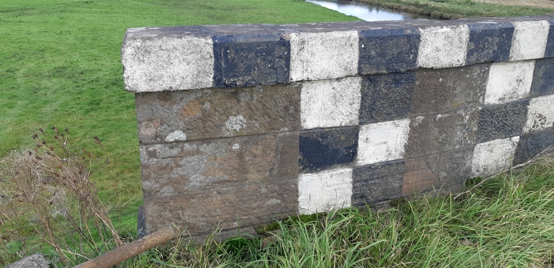
Probably mid 19th century. Roadbridge, 5 wide segmental
arches (central arch wider - 2 arches for flood relief) over
River Annan. Red ashlar, mostly bull-faced and channelled.
Pointed cutwaters either side; wide string course below coped
parapets, latter splayed at approaches.
Also in Lochmaben Parish.
Change of Category B to A 22.2.88
External links are from the relevant listing authority and, where applicable, Wikidata. Wikidata IDs may be related buildings as well as this specific building. If you want to add or update a link, you will need to do so by editing the Wikidata entry.


Other nearby listed buildings