Latitude: 55.9434 / 55°56'36"N
Longitude: -2.3664 / 2°21'59"W
OS Eastings: 377212
OS Northings: 672322
OS Grid: NT772723
Mapcode National: GBR NFJ0.6M4
Mapcode Global: WH8W8.MWC2
Plus Code: 9C7VWJVM+9C
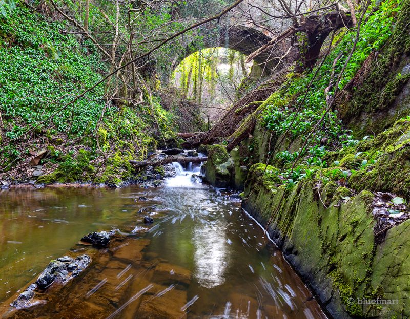
Entry Name: Old Bridge, Dunglass
Listing Name: Old Bridge, Dunglass
Listing Date: 9 June 1971
Category: B
Source: Historic Scotland
Source ID: 335259
Historic Scotland Designation Reference: LB4058
Building Class: Cultural
ID on this website: 200335259
Location: Cockburnspath
County: Scottish Borders
Electoral Ward: East Berwickshire
Traditional County: East Lothian


Other nearby listed buildings