Approximate Location Map
Large Map »
Latitude: 56.9121 / 56°54'43"N
Longitude: -4.9967 / 4°59'48"W
OS Eastings: 217654
OS Northings: 784090
OS Grid: NN176840
Mapcode National: GBR GB1G.1Z0
Mapcode Global: WH2GK.6JWF
Plus Code: 9C8QW263+V8
Entry Name: Gairlochy Burial Ground
Listing Name: Gairlochy Burial Ground
Listing Date: 23 June 1980
Category: C
Source: Historic Scotland
Source ID: 338587
Historic Scotland Designation Reference: LB6867
Building Class: Cultural
ID on this website: 200338587
Location: Kilmonivaig
County: Highland
Electoral Ward: Caol and Mallaig
Parish: Kilmonivaig
Traditional County: Inverness-shire
Tagged with: Cemetery
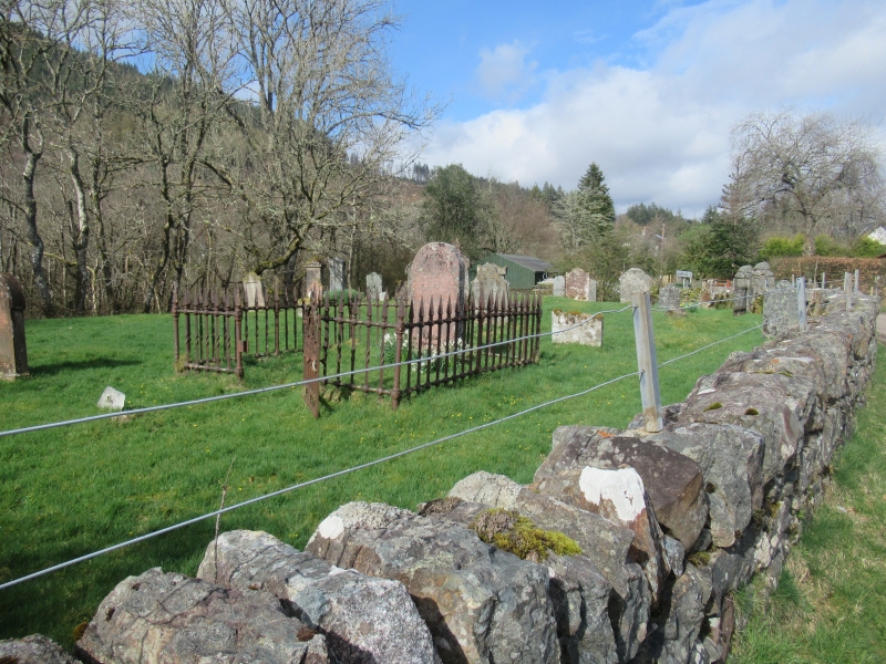
Small walled burial ground, with 18th and 19th century tombs.
Probably site of early Kilmonivaig church; once bounded to
north by River Lochy, diverted to present course in early
19th century to make way for Caledonian Canal.
External links are from the relevant listing authority and, where applicable, Wikidata. Wikidata IDs may be related buildings as well as this specific building. If you want to add or update a link, you will need to do so by editing the Wikidata entry.


Other nearby listed buildings
