Latitude: 55.9345 / 55°56'4"N
Longitude: -3.4224 / 3°25'20"W
OS Eastings: 311237
OS Northings: 672183
OS Grid: NT112721
Mapcode National: GBR 1Z.Z52W
Mapcode Global: WH6SP.D3JC
Plus Code: 9C7RWHMH+Q2
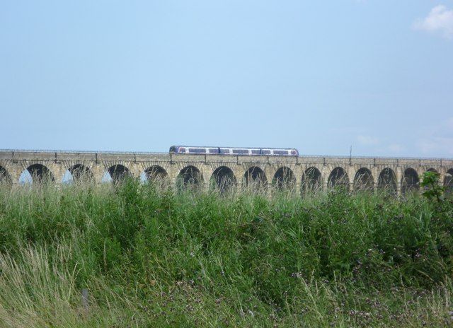
Entry Name: Almond Valley Viaduct, Kirkliston
Listing Name: Railway Viaduct, Almond Valley
Listing Date: 22 February 1971
Category: A
Source: Historic Scotland
Source ID: 339301
Historic Scotland Designation Reference: LB7428
Building Class: Cultural
Also known as: 36 Arch Viaduct
ID on this website: 200339301
Location: Kirkliston
County: West Lothian
Electoral Ward: Almond
Parish: Kirkliston
Traditional County: West Lothian
Tagged with: Arch bridge Stone bridge Railway viaduct
1842. 36 high segmental arches. Rock-faced coursers.
Dressed parapet.
Small part in Kirkliston Parish, Midlothian.
External links are from the relevant listing authority and, where applicable, Wikidata. Wikidata IDs may be related buildings as well as this specific building. If you want to add or update a link, you will need to do so by editing the Wikidata entry.


Other nearby listed buildings