Approximate Location Map
Large Map »
Latitude: 55.6734 / 55°40'24"N
Longitude: -4.6668 / 4°40'0"W
OS Eastings: 232395
OS Northings: 645439
OS Grid: NS323454
Mapcode National: GBR 38.HN5M
Mapcode Global: WH2NQ.8NZJ
Plus Code: 9C7QM8FM+97
Entry Name: Monkredding House
Listing Name: Monkredding House
Listing Date: 14 April 1971
Category: B
Source: Historic Scotland
Source ID: 339510
Historic Scotland Designation Reference: LB7567
Building Class: Cultural
ID on this website: 200339510
Location: Kilwinning
County: North Ayrshire
Electoral Ward: Kilwinning
Parish: Kilwinning
Traditional County: Ayrshire
Tagged with: House
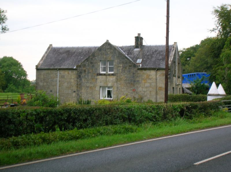
Datestones 1602 and 1638; 2 storeys; harled; originally an
L shape house, with corner staircase turret and entrance;
enlarged and re-orientated in early 19th century when
principal facade and centre entrance were extended to
the south; another wing added to rear, dated 1905 - One wing
of oldest part is vaulted on lower floor.
External links are from the relevant listing authority and, where applicable, Wikidata. Wikidata IDs may be related buildings as well as this specific building. If you want to add or update a link, you will need to do so by editing the Wikidata entry.


Other nearby listed buildings
