Latitude: 55.3387 / 55°20'19"N
Longitude: -4.7208 / 4°43'14"W
OS Eastings: 227539
OS Northings: 608334
OS Grid: NS275083
Mapcode National: GBR 45.5R9N
Mapcode Global: WH2QF.G27L
Plus Code: 9C7Q87QH+FM
Entry Name: Crossraguel Abbey
Listing Date: 14 April 1971
Category: A
Source: Historic Scotland
Source ID: 339532
Historic Scotland Designation Reference: LB7589
Building Class: Cultural
ID on this website: 200339532
Location: Kirkoswald
County: South Ayrshire
Electoral Ward: Girvan and South Carrick
Parish: Kirkoswald
Traditional County: Ayrshire
Tagged with: Abbey Monastery ruins
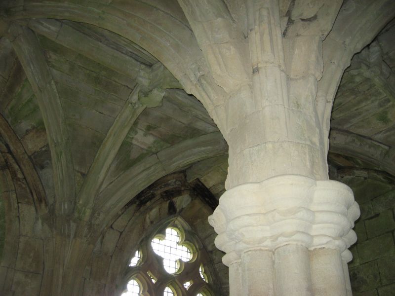
A Cluniac monastery founded by Duncan, Earl of Carrick,
in 1244, as a subordinate house of Paisley - The remains are
very extensive and consist of the church, claustral
buildings, outer court with an imposing castellated
gatehouse, and abbot's house with a strong tower attached.
Guardianship Monument 90087.
Scheduled area 2 March 2004.
External links are from the relevant listing authority and, where applicable, Wikidata. Wikidata IDs may be related buildings as well as this specific building. If you want to add or update a link, you will need to do so by editing the Wikidata entry.


Other nearby listed buildings