Latitude: 58.1842 / 58°11'3"N
Longitude: -3.5013 / 3°30'4"W
OS Eastings: 311813
OS Northings: 922691
OS Grid: ND118226
Mapcode National: GBR K7Q3.2TK
Mapcode Global: WH5DH.5KY8
Plus Code: 9CCR5FMX+MF
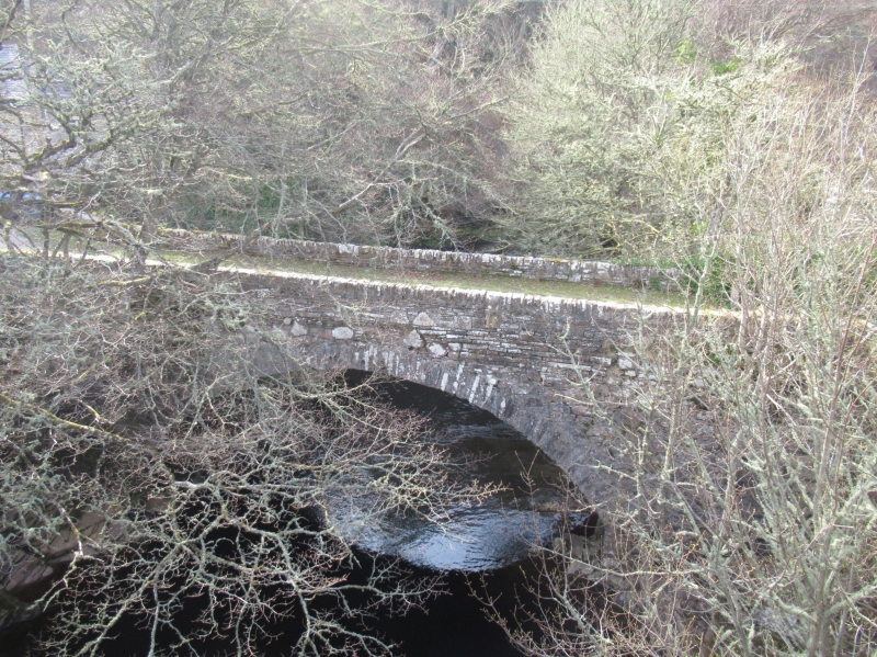
Entry Name: Bridge, Berriedale
Listing Name: Berriedale, 2 Bridges over Berriedale and Langwell Waters
Listing Date: 28 November 1984
Category: C
Source: Historic Scotland
Source ID: 339999
Historic Scotland Designation Reference: LB7968
Building Class: Cultural
ID on this website: 200339999
Location: Latheron
County: Highland
Electoral Ward: Wick and East Caithness
Traditional County: Caithness
Tagged with: Road bridge
External links are from the relevant listing authority and, where applicable, Wikidata. Wikidata IDs may be related buildings as well as this specific building. If you want to add or update a link, you will need to do so by editing the Wikidata entry.


Other nearby listed buildings