Approximate Location Map
Large Map »
Latitude: 56.9198 / 56°55'11"N
Longitude: -2.3547 / 2°21'16"W
OS Eastings: 378504
OS Northings: 780998
OS Grid: NO785809
Mapcode National: GBR XB.WFJF
Mapcode Global: WH8QM.SBXK
Plus Code: 9C8VWJ9W+W4
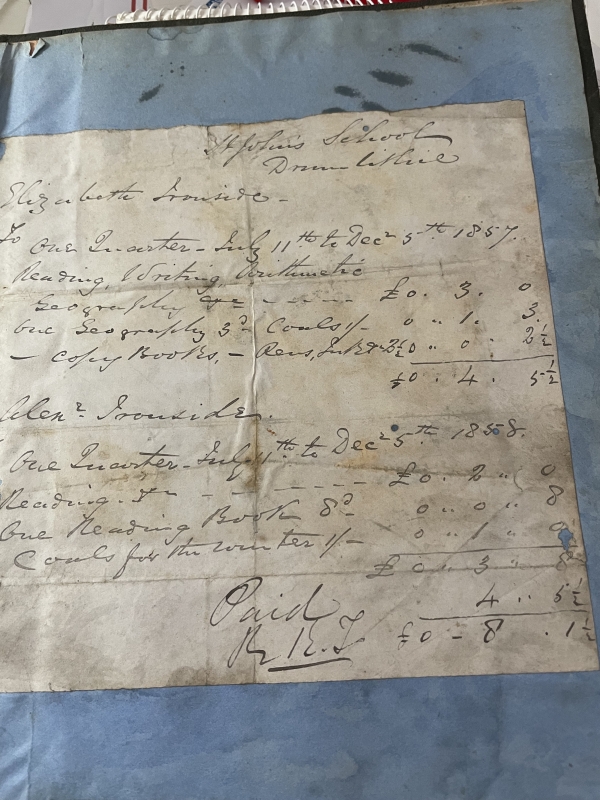
Entry Name: St John's Cottage, High Street, Drumlithie
Listing Name: "St John's Cottage", Kinmonth Road
Listing Date: 25 November 1980
Category: C
Source: Historic Scotland
Source ID: 341603
Historic Scotland Designation Reference: LB9342
Building Class: Cultural
ID on this website: 200341603
Location: Glenbervie
County: Aberdeenshire
Electoral Ward: Mearns
Parish: Glenbervie
Traditional County: Kincardineshire
Tagged with: Cottage
Plain single-storey whitewashed rubble and slate. Former village school, early 19th century.
External links are from the relevant listing authority and, where applicable, Wikidata. Wikidata IDs may be related buildings as well as this specific building. If you want to add or update a link, you will need to do so by editing the Wikidata entry.


Other nearby listed buildings
