Approximate Location Map
Large Map »
Latitude: 56.0438 / 56°2'37"N
Longitude: -3.7916 / 3°47'29"W
OS Eastings: 288492
OS Northings: 684879
OS Grid: NS884848
Mapcode National: GBR 1K.R64K
Mapcode Global: WH5QS.QCP3
Plus Code: 9C8R26V5+G9
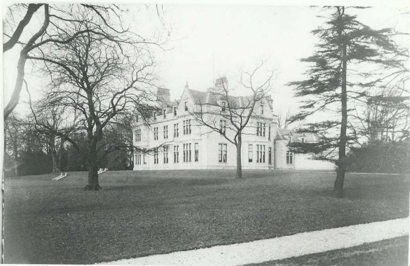
Entry Name: Kinnaird House
Listing Name: Kinnaird House
Listing Date: 25 October 1972
Category: B
Source: Historic Scotland
Source ID: 342958
Historic Scotland Designation Reference: LB10498
Building Class: Cultural
ID on this website: 200342958
Location: Larbert
County: Falkirk
Electoral Ward: Carse, Kinnaird and Tryst
Parish: Larbert
Traditional County: Stirlingshire
Tagged with: House
Dated 1894. "Jacobethan" style mansion with port-cochere by
James Thomson, Architect.
External links are from the relevant listing authority and, where applicable, Wikidata. Wikidata IDs may be related buildings as well as this specific building. If you want to add or update a link, you will need to do so by editing the Wikidata entry.


Other nearby listed buildings
