Approximate Location Map
Large Map »
Latitude: 56.5981 / 56°35'53"N
Longitude: -4.0509 / 4°3'3"W
OS Eastings: 274176
OS Northings: 747012
OS Grid: NN741470
Mapcode National: GBR JCC8.P5B
Mapcode Global: WH4LT.RF56
Plus Code: 9C8QHWXX+6J
Entry Name: Fortingall Churchyard
Listing Name: Fortingal Churchyard
Listing Date: 5 October 1971
Category: C
Source: Historic Scotland
Source ID: 345024
Historic Scotland Designation Reference: LB12289
Building Class: Cultural
ID on this website: 200345024
Location: Fortingall
County: Perth and Kinross
Electoral Ward: Highland
Parish: Fortingall
Traditional County: Perthshire
Tagged with: Churchyard
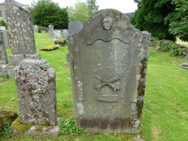
Low-walled enclosure, some 18th century gravestones.
Re-categorised as C(S) from B for Group (2006). The listing relates specifically to the group interest of the subject. It applies, as always, to interior as well as exterior, as appropriate to building type.
External links are from the relevant listing authority and, where applicable, Wikidata. Wikidata IDs may be related buildings as well as this specific building. If you want to add or update a link, you will need to do so by editing the Wikidata entry.


Other nearby listed buildings
