Approximate Location Map
Large Map »
Latitude: 55.0052 / 55°0'18"N
Longitude: -4.4285 / 4°25'42"W
OS Eastings: 244778
OS Northings: 570540
OS Grid: NX447705
Mapcode National: GBR 4K.VSRB
Mapcode Global: WH3T7.YGBB
Plus Code: 9C7Q2H4C+3H
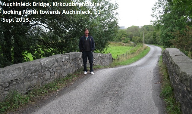
Entry Name: Auchinleck Bridge
Listing Name: Auchinleck Bridge
Listing Date: 17 December 1979
Category: C
Source: Historic Scotland
Source ID: 350887
Historic Scotland Designation Reference: LB17038
Building Class: Cultural
ID on this website: 200350887
Location: Minnigaff
County: Dumfries and Galloway
Electoral Ward: Mid Galloway and Wigtown West
Parish: Minnigaff
Traditional County: Kirkcudbrightshire
Tagged with: Road bridge
Early to earlier 19th century, rebuilt 1989. Vehicular bridge over Penkiln Burn; single track, on E-W axis. Single span, with low segmental arch. Rubble. Granite voussoirs, abutments and slab
coping.
Plaque inscribed "Rebuilt 1989" to inside of N parapet.
External links are from the relevant listing authority and, where applicable, Wikidata. Wikidata IDs may be related buildings as well as this specific building. If you want to add or update a link, you will need to do so by editing the Wikidata entry.


Other nearby listed buildings
