Approximate Location Map
Large Map »
Latitude: 56.4328 / 56°25'58"N
Longitude: -5.6873 / 5°41'14"W
OS Eastings: 172758
OS Northings: 732834
OS Grid: NM727328
Mapcode National: GBR DCBQ.9P7
Mapcode Global: WH0G8.LKYW
Plus Code: 9C8PC8M7+43
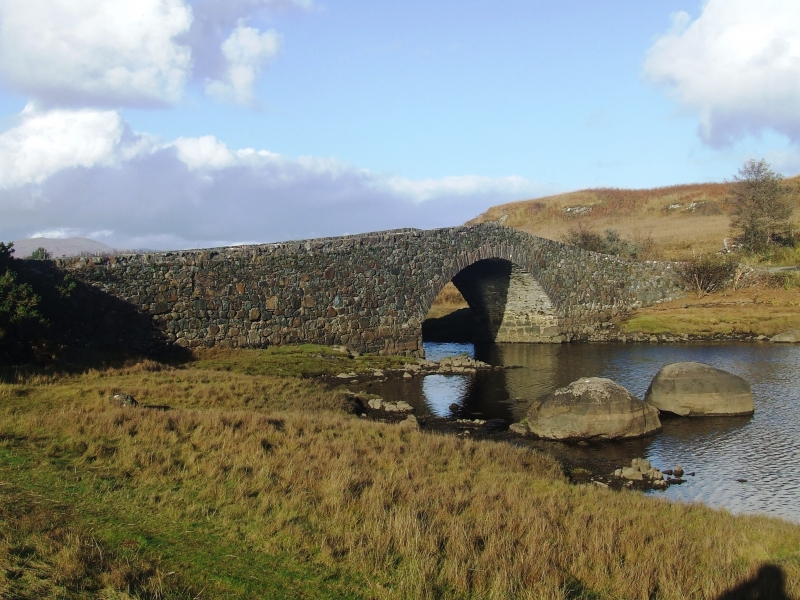
Entry Name: Lochdonhead Bridge over Leth-fhonn
Listing Name: Lochdonhead Bridge over Leth-Fhonn
Listing Date: 20 July 1971
Last Amended: 15 February 2019
Category: B
Source: Historic Scotland
Source ID: 351925
Historic Scotland Designation Reference: LB17930
Building Class: Cultural
Also known as: Mull, Auchnacraig Bridge
Auchnacraig Bridge, Mull
ID on this website: 200351925
Location: Torosay
County: Argyll and Bute
Electoral Ward: Oban South and the Isles
Parish: Torosay
Tagged with: Bridge Road bridge Stone arch bridge
Statutory address revised in 2019. Previously listed as 'Lochdonhead Bridge Over Leth Flown'.
External links are from the relevant listing authority and, where applicable, Wikidata. Wikidata IDs may be related buildings as well as this specific building. If you want to add or update a link, you will need to do so by editing the Wikidata entry.


