Approximate Location Map
Large Map »
Latitude: 57.1409 / 57°8'27"N
Longitude: -2.1088 / 2°6'31"W
OS Eastings: 393514
OS Northings: 805561
OS Grid: NJ935055
Mapcode National: GBR S9Y.GL
Mapcode Global: WH9QQ.LS02
Plus Code: 9C9V4VRR+9F
Entry Name: Boundary Marker 1, Hardgate, Aberdeen
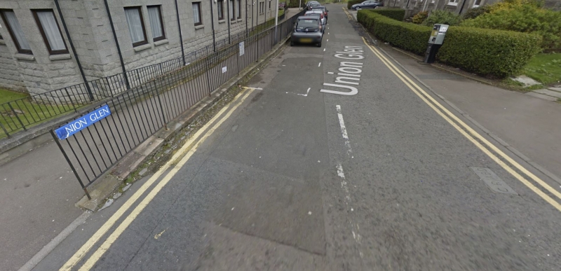
Listing Name: March Stone No. 1, in Roadway at S.e. Junction of Hardgate and Union Glen.
Listing Date: 12 January 1967
Category: B
Source: Historic Scotland
Source ID: 354456
Historic Scotland Designation Reference: LB20014
Building Class: Cultural
ID on this website: 200354456
Location: Aberdeen
County: Aberdeen
Town: Aberdeen
Electoral Ward: Torry/Ferryhill
Traditional County: Aberdeenshire
Tagged with: Boundary marker
2 stones marked CR (City Royalty and 1 ABD.)
Formerly in north gable of 81 Hardgate (now demolished).
External links are from the relevant listing authority and, where applicable, Wikidata. Wikidata IDs may be related buildings as well as this specific building. If you want to add or update a link, you will need to do so by editing the Wikidata entry.


Other nearby listed buildings
