Latitude: 57.1424 / 57°8'32"N
Longitude: -2.1028 / 2°6'10"W
OS Eastings: 393878
OS Northings: 805725
OS Grid: NJ938057
Mapcode National: GBR SBT.0M
Mapcode Global: WH9QQ.NQWY
Plus Code: 9C9V4VRW+XV
Entry Name: 71 Dee Street, Aberdeen
Listing Name: Dee Street, 69, 71
Listing Date: 12 January 1967
Category: B
Source: Historic Scotland
Source ID: 354925
Historic Scotland Designation Reference: LB20263
Building Class: Cultural
ID on this website: 200354925
Location: Aberdeen
County: Aberdeen
Town: Aberdeen
Electoral Ward: Torry/Ferryhill
Traditional County: Aberdeenshire
Tagged with: House
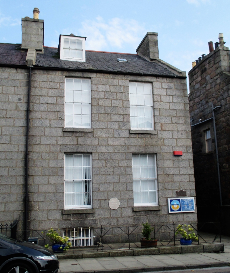
Before 1821. 2-storey 4-window ashlar with R-doric column
porch at 69.
Dee Street and Dee Place shown laid out in Smith's map of
1810 but very little built.
External links are from the relevant listing authority and, where applicable, Wikidata. Wikidata IDs may be related buildings as well as this specific building. If you want to add or update a link, you will need to do so by editing the Wikidata entry.


Other nearby listed buildings