Approximate Location Map
Large Map »
Latitude: 57.7022 / 57°42'7"N
Longitude: -3.4991 / 3°29'56"W
OS Eastings: 310752
OS Northings: 869030
OS Grid: NJ107690
Mapcode National: GBR K8QC.HTP
Mapcode Global: WH5GT.6NZS
Plus Code: 9C9RPG22+V8
Entry Name: North Pier, Burghead Harbour
Listing Name: Harbour North Pier
Listing Date: 31 May 1974
Category: B
Source: Historic Scotland
Source ID: 358366
Historic Scotland Designation Reference: LB22749
Building Class: Cultural
ID on this website: 200358366
Location: Burghead
County: Moray
Town: Burghead
Electoral Ward: Heldon and Laich
Traditional County: Morayshire
Tagged with: Harbour
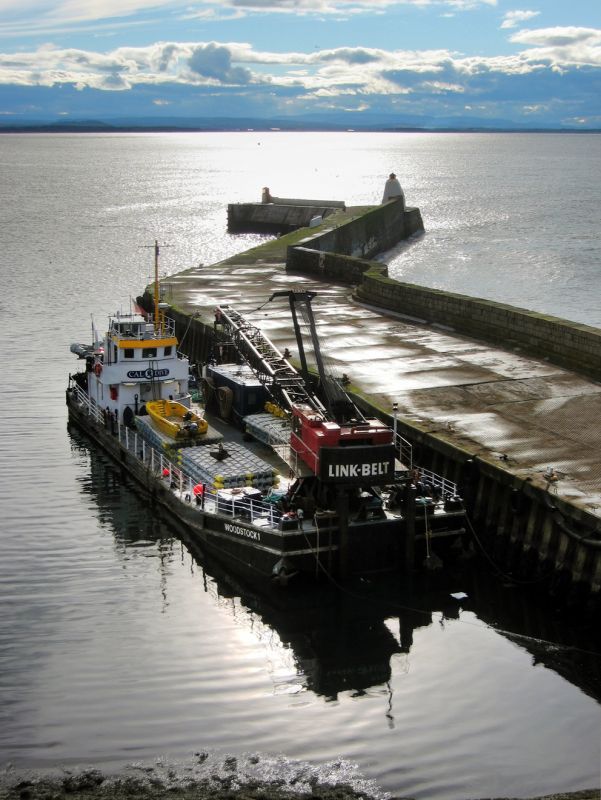
Thomas Telford, 1807-10 with later angled extension and jetty. Tooled squared rubble with tooled dressings. N face with high stepped sea wall with pulvinated string course on seaward side. Small later whitewashed concrete beacon at extreme end.
Harbour extended and altered at various periods, including 1832, 1835 and 1881-7.
External links are from the relevant listing authority and, where applicable, Wikidata. Wikidata IDs may be related buildings as well as this specific building. If you want to add or update a link, you will need to do so by editing the Wikidata entry.


Other nearby listed buildings
