Approximate Location Map
Large Map »
Latitude: 56.2591 / 56°15'32"N
Longitude: -2.6291 / 2°37'44"W
OS Eastings: 361124
OS Northings: 707582
OS Grid: NO611075
Mapcode National: GBR 2Y.9P7Y
Mapcode Global: WH8TL.LY81
Plus Code: 9C8V795C+M9
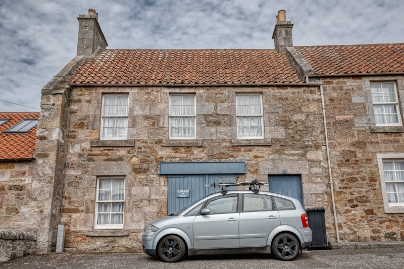
Entry Name: 16 West Green, Crail
Listing Name: 16 West Green
Listing Date: 9 May 1972
Category: C
Source: Historic Scotland
Source ID: 359075
Historic Scotland Designation Reference: LB23336
Building Class: Cultural
ID on this website: 200359075
Location: Crail
County: Fife
Town: Crail
Electoral Ward: East Neuk and Landward
Traditional County: Fife
Tagged with: Architectural structure
Circa 1840. 2-storey 3-window, originally domestic now plumber's warehouse, ground floor door insertion; coursed rubble with stugged dressings, pantiled.
Re-categorised as C(S) from B for Group (2006). The listing relates specifically to the group interest of the subject. It applies, as always, to interior as well as exterior, as appropriate to building type.
External links are from the relevant listing authority and, where applicable, Wikidata. Wikidata IDs may be related buildings as well as this specific building. If you want to add or update a link, you will need to do so by editing the Wikidata entry.


Other nearby listed buildings
