Approximate Location Map
Large Map »
Latitude: 56.2584 / 56°15'30"N
Longitude: -2.6292 / 2°37'45"W
OS Eastings: 361119
OS Northings: 707496
OS Grid: NO611074
Mapcode National: GBR 2Y.9P87
Mapcode Global: WH8TL.LY7M
Plus Code: 9C8V795C+88
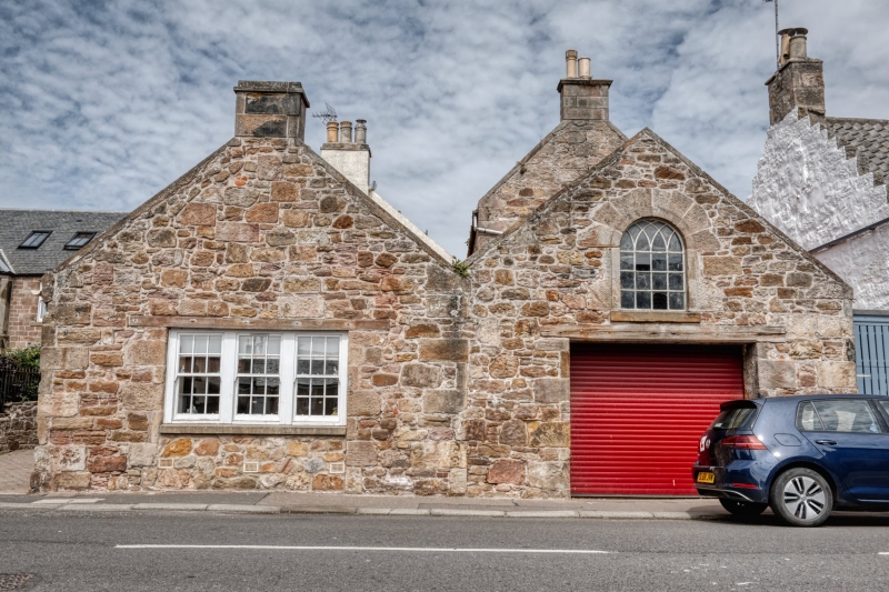
Entry Name: 11 Westgate, Crail
Listing Name: David Mayes' Garages 11 Westgate
Listing Date: 9 May 1972
Category: C
Source: Historic Scotland
Source ID: 359089
Historic Scotland Designation Reference: LB23350
Building Class: Cultural
ID on this website: 200359089
Location: Crail
County: Fife
Town: Crail
Electoral Ward: East Neuk and Landward
Traditional County: Fife
Tagged with: Architectural structure
Circa 1815 (?) former school Single-storey rubble and pantile, 2 gable front, one with arched window and original traceried sash.
Re-categorised as C(S) from B for Group (2006). The listing relates specifically to the group interest of the subject. It applies, as always, to interior as well as exterior, as appropriate to building type.
External links are from the relevant listing authority and, where applicable, Wikidata. Wikidata IDs may be related buildings as well as this specific building. If you want to add or update a link, you will need to do so by editing the Wikidata entry.


Other nearby listed buildings
