Approximate Location Map
Large Map »
Latitude: 56.0027 / 56°0'9"N
Longitude: -2.5168 / 2°31'0"W
OS Eastings: 367868
OS Northings: 678982
OS Grid: NT678789
Mapcode National: GBR ND4V.HQ5
Mapcode Global: WH8W0.9DS3
Plus Code: 9C8V2F3M+37
Entry Name: 114, 116 High Street, Dunbar
Listing Name: 114 and 116 High Street
Listing Date: 5 February 1971
Category: B
Source: Historic Scotland
Source ID: 360908
Historic Scotland Designation Reference: LB24824
Building Class: Cultural
Also known as: Dunbar, 114, 116 High Street
ID on this website: 200360908
Location: Dunbar
County: East Lothian
Town: Dunbar
Electoral Ward: Dunbar and East Linton
Traditional County: East Lothian
Tagged with: Architectural structure
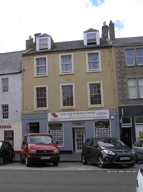
Early 19th century. 3-storey, 3-bay tenement. Painted ashlar
and raised margins. Simple eaves cornice. Double panelled
doors with plate glass fanlight. Regular fenestration 12-pane
glazing pattern. Slate roof; ashlar stacks.
Property has group interest with other listed buildings on High Street and West Port: see LB24778 to LB24791, LB24803 to LB24824 and LB24864 to LB24867.
External links are from the relevant listing authority and, where applicable, Wikidata. Wikidata IDs may be related buildings as well as this specific building. If you want to add or update a link, you will need to do so by editing the Wikidata entry.


Other nearby listed buildings
