Approximate Location Map
Large Map »
Latitude: 55.9309 / 55°55'51"N
Longitude: -3.1208 / 3°7'14"W
OS Eastings: 330072
OS Northings: 671432
OS Grid: NT300714
Mapcode National: GBR 2C.Z6V4
Mapcode Global: WH6SV.1665
Plus Code: 9C7RWVJH+8M
Entry Name: Tombhouse, Niddrie Marishcal House, Edinburgh
Listing Name: Niddrie Marischal House Tombhouse Niddrie Marischal Terrace
Listing Date: 14 December 1970
Category: B
Source: Historic Scotland
Source ID: 365545
Historic Scotland Designation Reference: LB28103
Building Class: Cultural
ID on this website: 200365545
Location: Edinburgh
County: Edinburgh
Town: Edinburgh
Electoral Ward: Portobello/Craigmillar
Traditional County: Midlothian
Tagged with: Architectural structure
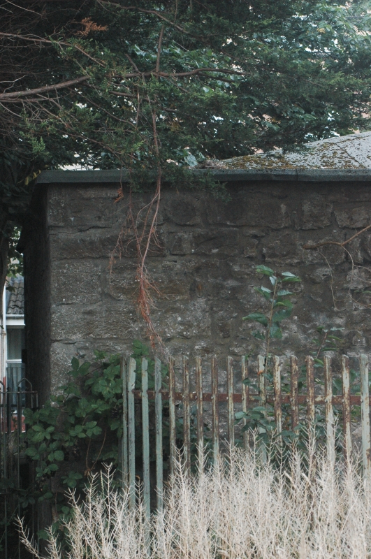
18th century. Vaulted tomb-house adjoining western extension
of mansion (now demolished). Pedimented facade with quoin
ends, rusticated centre arch flanked by niches.
Built on site of chapel founded 1502 and dedicated to Blessed Virgin, 16th century fragments incorporated
External links are from the relevant listing authority and, where applicable, Wikidata. Wikidata IDs may be related buildings as well as this specific building. If you want to add or update a link, you will need to do so by editing the Wikidata entry.


Other nearby listed buildings
