Approximate Location Map
Large Map »
Latitude: 55.9418 / 55°56'30"N
Longitude: -3.1844 / 3°11'4"W
OS Eastings: 326115
OS Northings: 672719
OS Grid: NT261727
Mapcode National: GBR 8QK.GH
Mapcode Global: WH6SM.1XW9
Plus Code: 9C7RWRR8+P6
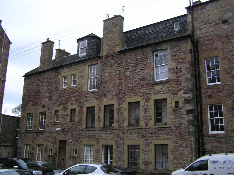
Entry Name: Boroughloch Lane & Square Boroughloch Buildings
Listing Date: 12 December 1974
Category: B
Source: Historic Scotland
Source ID: 366107
Historic Scotland Designation Reference: LB28336
Building Class: Cultural
ID on this website: 200366107
Location: Edinburgh
County: Edinburgh
Town: Edinburgh
Electoral Ward: Southside/Newington
Traditional County: Midlothian
Statutory address and listed building record revised in 2017. Previously listed as 'Boroughloch Lane & Square Boroughloch Buildings'.
External links are from the relevant listing authority and, where applicable, Wikidata. Wikidata IDs may be related buildings as well as this specific building. If you want to add or update a link, you will need to do so by editing the Wikidata entry.


Other nearby listed buildings
