Approximate Location Map
Large Map »
Latitude: 55.9609 / 55°57'39"N
Longitude: -3.2003 / 3°12'0"W
OS Eastings: 325164
OS Northings: 674862
OS Grid: NT251748
Mapcode National: GBR 8MB.7N
Mapcode Global: WH6SL.TF7M
Plus Code: 9C7RXQ6X+9V
Entry Name: 9, 11 Eyre Place, Edinburgh
Listing Name: Eyre Place 9-11
Listing Date: 19 December 1979
Category: C
Source: Historic Scotland
Source ID: 367244
Historic Scotland Designation Reference: LB28740
Building Class: Cultural
ID on this website: 200367244
Location: Edinburgh
County: Edinburgh
Town: Edinburgh
Electoral Ward: Inverleith
Traditional County: Midlothian
Tagged with: Architectural structure
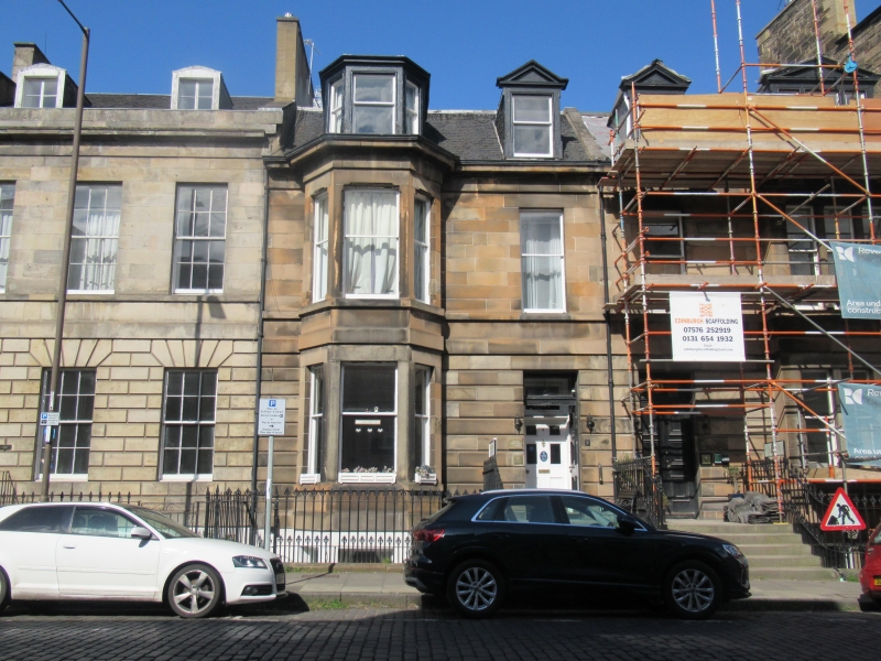
Robert R Raeburn, 1880. 2-storey basement and attic pair,
2-window between left-hand canted bay and right-hand
tripartite rectangular bay, paired central doorpieces; basement
droved ashlar with good railings and fly-overs, channelled
ground floor, ashlar 1st floor with stop chamfers, main
cornice, slated roof with dormers, pedimented except at
canted dormer over left-hand bay.
External links are from the relevant listing authority and, where applicable, Wikidata. Wikidata IDs may be related buildings as well as this specific building. If you want to add or update a link, you will need to do so by editing the Wikidata entry.


Other nearby listed buildings
