Approximate Location Map
Large Map »
Latitude: 56.1912 / 56°11'28"N
Longitude: -2.8166 / 2°48'59"W
OS Eastings: 349417
OS Northings: 700143
OS Grid: NO494001
Mapcode National: GBR 2Q.FWPG
Mapcode Global: WH7SR.PNY3
Plus Code: 9C8V55RM+F8
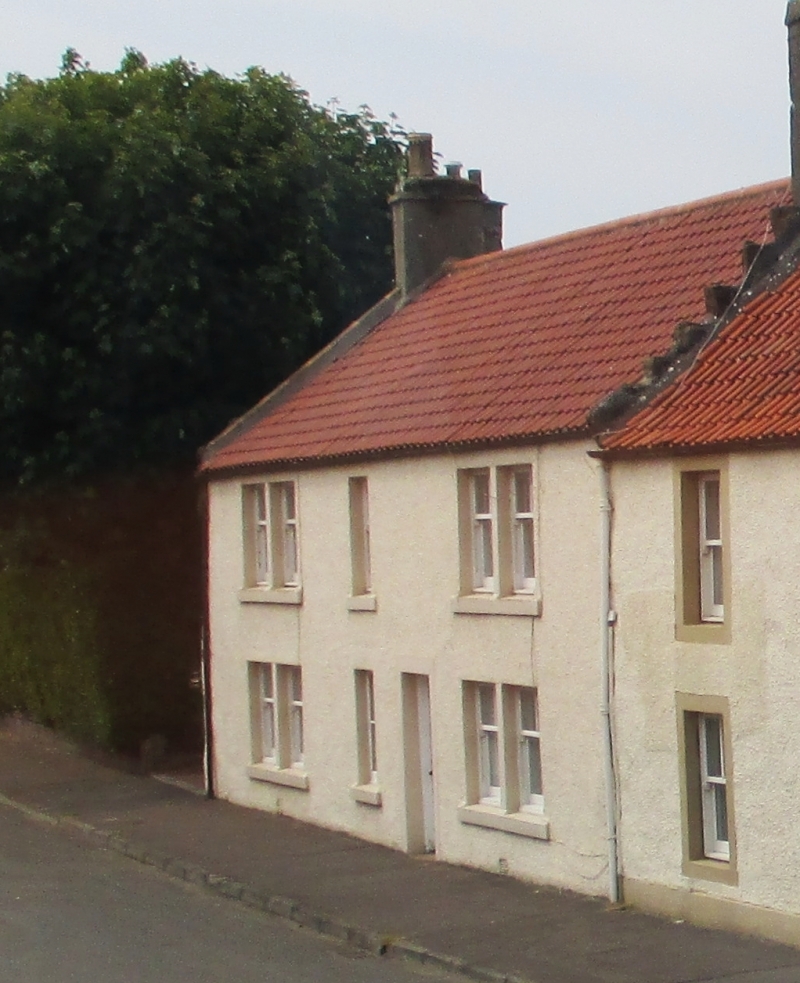
Entry Name: Marigold, 9 High Street, Elie
Listing Name: Elie Marigold 9 High Street
Listing Date: 18 August 1972
Category: C
Source: Historic Scotland
Source ID: 372117
Historic Scotland Designation Reference: LB30943
Building Class: Cultural
ID on this website: 200372117
Location: Elie and Earlsferry
County: Fife
Town: Elie And Earlsferry
Electoral Ward: East Neuk and Landward
Traditional County: Fife
Tagged with: Architectural structure
18th century, 2-storey 3-window (2 bipartites later alterations) harl and pantile; much altered.
B group (cont).
External links are from the relevant listing authority and, where applicable, Wikidata. Wikidata IDs may be related buildings as well as this specific building. If you want to add or update a link, you will need to do so by editing the Wikidata entry.


Other nearby listed buildings
