Approximate Location Map
Large Map »
Latitude: 56.1897 / 56°11'22"N
Longitude: -2.8203 / 2°49'13"W
OS Eastings: 349188
OS Northings: 699980
OS Grid: NT491999
Mapcode National: GBR 2Q.G29X
Mapcode Global: WH7SR.NP67
Plus Code: 9C8V55QH+VV
Entry Name: 7 The Terrace, Elie
Listing Name: Elie, 7 the Terrace
Listing Date: 18 August 1972
Category: C
Source: Historic Scotland
Source ID: 372227
Historic Scotland Designation Reference: LB31039
Building Class: Cultural
ID on this website: 200372227
Location: Elie and Earlsferry
County: Fife
Town: Elie And Earlsferry
Electoral Ward: East Neuk and Landward
Traditional County: Fife
Tagged with: Architectural structure
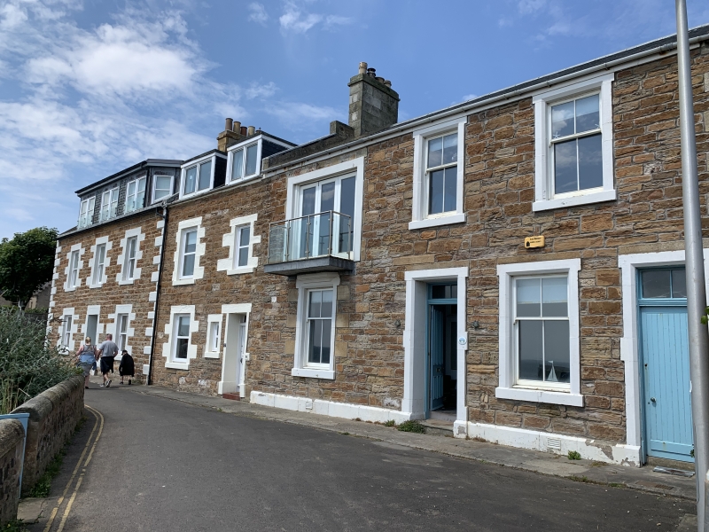
18th century. 3-storey symmetrical house. Colour washed harl with painted margins, centre gablet. Altered fenestration at 1st floor and modern oriel at centre 1st and 2nd floors. Architraved doorpiece. Slated roof, crowstepped at rear.
Listed for group value. Category C(S) reflects alterations.
External links are from the relevant listing authority and, where applicable, Wikidata. Wikidata IDs may be related buildings as well as this specific building. If you want to add or update a link, you will need to do so by editing the Wikidata entry.


Other nearby listed buildings
