Latitude: 55.9994 / 55°59'57"N
Longitude: -3.7844 / 3°47'3"W
OS Eastings: 288812
OS Northings: 679935
OS Grid: NS888799
Mapcode National: GBR 1K.V1S8
Mapcode Global: WH5QZ.VG3M
Plus Code: 9C7RX6X8+Q7
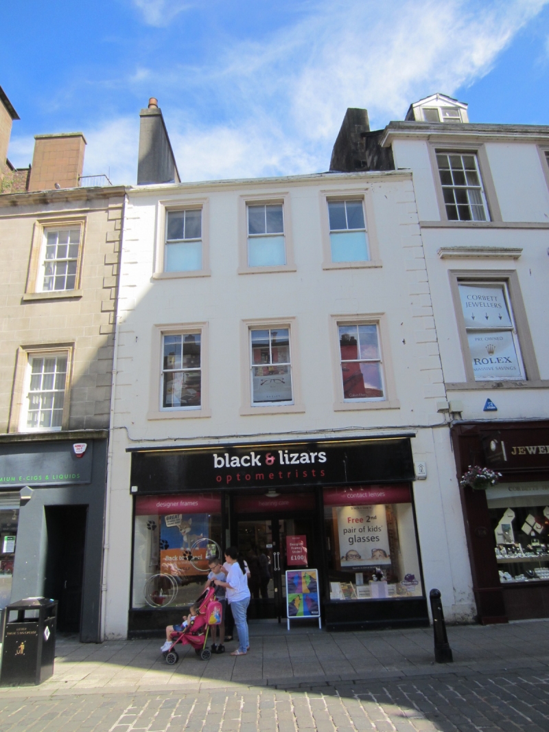
Entry Name: 102-104 High Street, Falkirk
Listing Name: 102, 104 High Street
Listing Date: 25 October 1972
Category: B
Source: Historic Scotland
Source ID: 372384
Historic Scotland Designation Reference: LB31175
Building Class: Cultural
Also known as: Falkirk, 102-104 High Street
ID on this website: 200372384
Circa 1800. 3-storey 3-window painted quoined ashlar, architraved openings, modern ground floor shop; slated.
External links are from the relevant listing authority and, where applicable, Wikidata. Wikidata IDs may be related buildings as well as this specific building. If you want to add or update a link, you will need to do so by editing the Wikidata entry.


Other nearby listed buildings