Approximate Location Map
Large Map »
Latitude: 56.2529 / 56°15'10"N
Longitude: -3.2118 / 3°12'42"W
OS Eastings: 325013
OS Northings: 707374
OS Grid: NO250073
Mapcode National: GBR 27.B4D5
Mapcode Global: WH6R7.M3R7
Plus Code: 9C8R7Q3Q+57
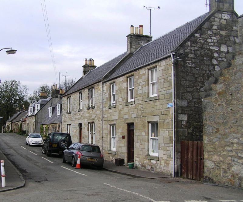
Entry Name: The Den, West Port, Falkland
Listing Name: The Den, West Port
Listing Date: 12 January 1971
Category: C
Source: Historic Scotland
Source ID: 372573
Historic Scotland Designation Reference: LB31341
Building Class: Cultural
ID on this website: 200372573
Location: Falkland
County: Fife
Town: Falkland
Electoral Ward: Howe of Fife and Tay Coast
Traditional County: Fife
Tagged with: Architectural structure
Mid 19 century 2-storey 3-window snecked rubble with
chamfered openings, slated.
Re-categorised as C(S) from B for Group (2006). The listing relates specifically to the group interest of the subject. It applies, as always, to interior as well as exterior, as appropriate to building type.
External links are from the relevant listing authority and, where applicable, Wikidata. Wikidata IDs may be related buildings as well as this specific building. If you want to add or update a link, you will need to do so by editing the Wikidata entry.


Other nearby listed buildings
